Area Overview for DN22 0PJ
Photos of DN22 0PJ

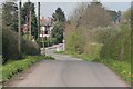
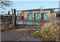
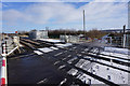
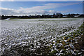
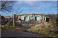
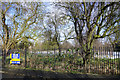
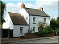
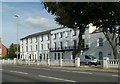
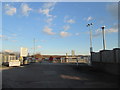
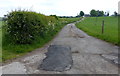
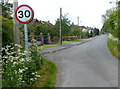
52 photos from this area
Area Information
Key information about the DN22 0PJ including its size, population, and administrative classification.
- Area Type
- Postcode
- Area Size
- 39.5 hectares
- Population
- 1317
- Population Density
- 277 people/km²
House Prices in DN22 0PJ
5
Properties
£385,000
Average Sold Price
£385,000
Lowest Price
£385,000
Highest Price
Showing 5 properties
| Address | Type | Beds | Baths | Last Sale Price | Last Sale Date | |
|---|---|---|---|---|---|---|
| The Meadows, Grove Lane, Retford, DN22 0PJ | Detached | 7 | 3 | £385,000 | Jun 2018 | |
| Grove Lane Farm, Grove Lane, Retford, DN22 0PJ | house | - | - | - | - | |
| Grove Lane Farm And Adjoining Land, Blackstope Lane East, Retford, DN22 0PJ | Farm | - | - | - | - | |
| Blackstopes Farm, Bracken Lane, Retford, DN22 0PJ | Farm | - | - | - | - | |
| Retford United Football Ground, Sports Development At Cannon Park, Leverton Road, Retford, DN22 0PJ | Leisure | - | - | - | - |
Energy Efficiency in DN22 0PJ
Amenities
Schools
| Rank | School | Type | Entry gender | Ages |
|---|
Explore more schools in this area
Go to Schools tabDemographics
Household Size
Two person
most common
Accommodation Type
Houses
most common
Tenure
90
majority
Ethnic Group
White
most common
Religion
N/A
most common
Household Composition
N/A
most common
Age
47
median
Elderly (65+ years)
most common
Household Deprivation
N/A
with no deprivation
NS-SEC
36
in Lower managerial occupations
Explore more demographic insights in this area
Go to Demographics tabPlanning
Planning Constraints
- Flood RiskPremium
- Ramsar Wetland SitesPremium
- Area of Outstanding Natural BeautyPremium
- Protected Nature ReservePremium
- Protected WoodlandPremium