Area Overview for DN21 4AA
Photos of DN21 4AA

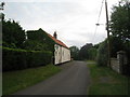
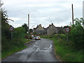
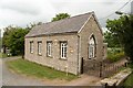
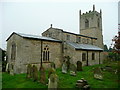
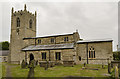
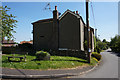
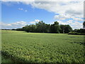
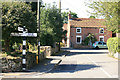
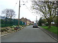
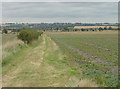
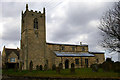
37 photos from this area
Area Information
Key information about the DN21 4AA including its size, population, and administrative classification.
- Area Type
- Postcode
- Area Size
- 48.9 hectares
- Population
- 1354
- Population Density
- 31 people/km²
House Prices in DN21 4AA
13
Properties
£134,250
Average Sold Price
£65,000
Lowest Price
£203,500
Highest Price
Showing 13 properties
| Address | Type | Beds | Baths | Last Sale Price | Last Sale Date | |
|---|---|---|---|---|---|---|
| 9 Manor Road, Northorpe, Gainsborough, DN21 4AA | house | - | - | £65,000 | Feb 2017 | |
| The Cottage, 7 Manor Road, Northorpe, Gainsborough, DN21 4AA | house | - | - | £203,500 | Dec 2016 | |
| Caravan At, The Village Hall, Manor Road, Northorpe, Gainsborough, DN21 4AA | Bungalow | 2 | 1 | - | - | |
| Ragnall, Manor Road, Northorpe, Gainsborough, DN21 4AA | Bungalow | 2 | 1 | - | - | |
| Kingscliffe Farm, Monson Road, Northorpe, Gainsborough, DN21 4AA | Farm | - | - | - | - | |
| Old Reading Room, Manor Road, Northorpe, Gainsborough, DN21 4AA | Bungalow | - | - | - | - | |
| Rose Cottage, 1 Manor Road, Northorpe, Gainsborough, DN21 4AA | Detached | - | - | - | - | |
| 11 Manor Road, Northorpe, Gainsborough, DN21 4AA | house | - | - | - | - | |
| 2 Manor Road, Northorpe, Gainsborough, DN21 4AA | Detached | - | - | - | - | |
| Cemetery, Manor Road, Northorpe, Gainsborough, DN21 4AA | commercial | - | - | - | - |
Page 1 of 2
Energy Efficiency in DN21 4AA
Amenities
Schools
| Rank | School | Type | Entry gender | Ages |
|---|
Explore more schools in this area
Go to Schools tabDemographics
Household Size
Two person
most common
Accommodation Type
Houses
most common
Tenure
83
majority
Ethnic Group
White
most common
Religion
N/A
most common
Household Composition
N/A
most common
Age
47
median
Adults (30-64 years)
most common
Household Deprivation
N/A
with no deprivation
NS-SEC
35
in Lower managerial occupations
Explore more demographic insights in this area
Go to Demographics tabPlanning
Planning Constraints
- Flood RiskPremium
- Ramsar Wetland SitesPremium
- Area of Outstanding Natural BeautyPremium
- Protected Nature ReservePremium
- Protected WoodlandPremium