Area Overview for DN21 3LQ
Photos of DN21 3LQ
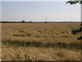
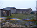
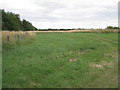
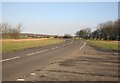
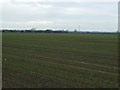
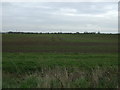
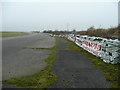
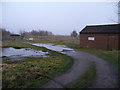
16 photos from this area
Area Information
Key information about the DN21 3LQ including its size, population, and administrative classification.
- Area Type
- Postcode
- Area Size
- 1.3 km²
- Population
- 1354
- Population Density
- 31 people/km²
House Prices in DN21 3LQ
10
Properties
£192,125
Average Sold Price
£27,500
Lowest Price
£441,000
Highest Price
Showing 10 properties
| Address | Type | Beds | Baths | Last Sale Price | Last Sale Date | |
|---|---|---|---|---|---|---|
| Blyton Grange, Laughton Road, Blyton, Gainsborough, DN21 3LQ | Industrial | - | - | £27,500 | Feb 2023 | |
| Inglenook, Laughton Road, Blyton, Gainsborough, DN21 3LQ | house | - | - | £220,000 | Aug 2021 | |
| Grace Lodge, Laughton Road, Blyton, Gainsborough, DN21 3LQ | Mobile Home | 1 | 1 | £441,000 | Sep 2017 | |
| Pyes Cottage, Laughton Road, Blyton, Gainsborough, DN21 3LQ | Semi-detached | - | - | £80,000 | Jul 2006 | |
| Pitch 12, Grace Park, Laughton Road, Blyton, Gainsborough, DN21 3LQ | Lodge | 2 | 1 | - | - | |
| Caravan, Bluebell Farm, Laughton Road, Blyton, Gainsborough, DN21 3LQ | Mobile Home | 2 | 1 | - | - | |
| Bluebell Farm, Laughton Road, Blyton, Gainsborough, DN21 3LQ | Farm | - | - | - | - | |
| Caravan At Stable, Laughton Road, Blyton, Gainsborough, DN21 3LQ | Mobile Home | - | - | - | - | |
| Pitch 10, Grace Park, Laughton Road, Blyton, Gainsborough, DN21 3LQ | Mobile Home | - | - | - | - | |
| The Bungalow, Laughton Road, Blyton, Gainsborough, DN21 3LQ | Detached | - | - | - | - |
Energy Efficiency in DN21 3LQ
Amenities
Schools
| Rank | School | Type | Entry gender | Ages |
|---|
Explore more schools in this area
Go to Schools tabDemographics
Household Size
Two person
most common
Accommodation Type
Houses
most common
Tenure
83
majority
Ethnic Group
White
most common
Religion
N/A
most common
Household Composition
N/A
most common
Age
47
median
Adults (30-64 years)
most common
Household Deprivation
N/A
with no deprivation
NS-SEC
35
in Lower managerial occupations
Explore more demographic insights in this area
Go to Demographics tabPlanning
Planning Constraints
- Flood RiskPremium
- Ramsar Wetland SitesPremium
- Area of Outstanding Natural BeautyPremium
- Protected Nature ReservePremium
- Protected WoodlandPremium