Area Overview for DN21 2TS
Photos of DN21 2TS
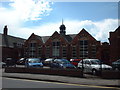
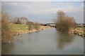

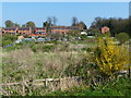
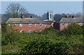
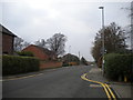
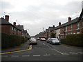
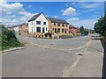
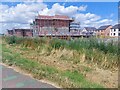
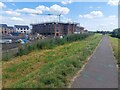
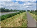
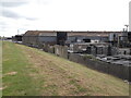
42 photos from this area
Area Information
Key information about the DN21 2TS including its size, population, and administrative classification.
- Area Type
- Postcode
- Area Size
- 1.3 hectares
- Population
- 1721
- Population Density
- 3203 people/km²
House Prices in DN21 2TS
37
Properties
£59,941
Average Sold Price
£22,250
Lowest Price
£132,000
Highest Price
Showing 37 properties
| Address | Type | Beds | Baths | Last Sale Price | Last Sale Date | |
|---|---|---|---|---|---|---|
| 325 Ropery Road, Gainsborough, DN21 2TS | Terraced | 2 | 1 | £51,000 | Nov 2023 | |
| 363 Ropery Road, Gainsborough, DN21 2TS | Terraced | 2 | 1 | £77,000 | Jul 2023 | |
| 374 Ropery Road, Gainsborough, DN21 2TS | Semi-detached | 3 | 2 | £60,000 | Jun 2023 | |
| 335 Ropery Road, Gainsborough, DN21 2TS | Terraced | 2 | - | £90,000 | Jan 2022 | |
| 333 Ropery Road, Gainsborough, DN21 2TS | Terraced | 2 | 1 | £75,000 | Dec 2021 | |
| 365 Ropery Road, Gainsborough, DN21 2TS | Terraced | 2 | 1 | £67,500 | Sep 2021 | |
| 353 Ropery Road, Gainsborough, DN21 2TS | Terraced | 2 | 1 | £74,000 | Jul 2020 | |
| 372 Ropery Road, Gainsborough, DN21 2TS | Semi-detached | 3 | 1 | £54,000 | Jan 2019 | |
| 357 Ropery Road, Gainsborough, DN21 2TS | Terraced | 2 | - | £85,000 | Aug 2018 | |
| 337 Ropery Road, Gainsborough, DN21 2TS | Terraced | 2 | - | £58,500 | Dec 2017 |
Page 1 of 4
Energy Efficiency in DN21 2TS
Amenities
Schools
| Rank | School | Type | Entry gender | Ages |
|---|
Explore more schools in this area
Go to Schools tabDemographics
Household Size
One person
most common
Accommodation Type
Houses
most common
Tenure
52
majority
Ethnic Group
White
most common
Religion
N/A
most common
Household Composition
N/A
most common
Age
47
median
Adults (30-64 years)
most common
Household Deprivation
N/A
with no deprivation
NS-SEC
19
in Lower managerial occupations
Explore more demographic insights in this area
Go to Demographics tabPlanning
Planning Constraints
- Flood RiskPremium
- Ramsar Wetland SitesPremium
- Area of Outstanding Natural BeautyPremium
- Protected Nature ReservePremium
- Protected WoodlandPremium