Area Overview for DN11 8DG
Photos of DN11 8DG
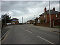
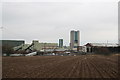
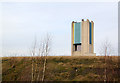
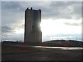

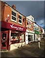

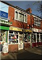
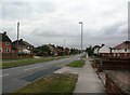
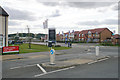
33 photos from this area
Area Information
Key information about the DN11 8DG including its size, population, and administrative classification.
- Area Type
- Postcode
- Area Size
- 1.1 hectares
- Population
- 1695
- Population Density
- 454 people/km²
House Prices in DN11 8DG
30
Properties
£87,053
Average Sold Price
£17,900
Lowest Price
£200,000
Highest Price
Showing 30 properties
| Address | Type | Beds | Baths | Last Sale Price | Last Sale Date | |
|---|---|---|---|---|---|---|
| 42 Snipe Park Road, Bircotes, DN11 8DG | Semi-detached | 3 | 1 | £125,000 | Oct 2024 | |
| 4 Snipe Park Road, Bircotes, DN11 8DG | house | - | - | £120,000 | Aug 2023 | |
| 60 Snipe Park Road, Bircotes, DN11 8DG | house | 3 | 2 | £200,000 | Jan 2022 | |
| 18 Snipe Park Road, Bircotes, DN11 8DG | Semi-detached | 3 | 1 | £115,000 | Apr 2020 | |
| 46 Snipe Park Road, Bircotes, DN11 8DG | Semi-detached | 3 | 1 | £120,000 | Sep 2018 | |
| 6 Snipe Park Road, Bircotes, DN11 8DG | Terraced | 3 | 1 | £93,000 | Dec 2017 | |
| 52 Snipe Park Road, Bircotes, DN11 8DG | Terraced | 3 | 1 | £78,000 | May 2017 | |
| 28 Snipe Park Road, Bircotes, DN11 8DG | Semi-detached | - | - | £90,000 | Feb 2017 | |
| 26 Snipe Park Road, Bircotes, DN11 8DG | house | - | - | £79,500 | Jul 2014 | |
| 38 Snipe Park Road, Bircotes, DN11 8DG | Semi-detached | 3 | - | £66,000 | May 2012 |
Page 1 of 3
Energy Efficiency in DN11 8DG
Amenities
Schools
| Rank | School | Type | Entry gender | Ages |
|---|
Explore more schools in this area
Go to Schools tabDemographics
Household Size
Two person
most common
Accommodation Type
Houses
most common
Tenure
69
majority
Ethnic Group
White
most common
Religion
N/A
most common
Household Composition
N/A
most common
Age
47
median
Adults (30-64 years)
most common
Household Deprivation
N/A
with no deprivation
NS-SEC
20
in Lower managerial occupations
Explore more demographic insights in this area
Go to Demographics tabPlanning
Planning Constraints
- Flood RiskPremium
- Ramsar Wetland SitesPremium
- Area of Outstanding Natural BeautyPremium
- Protected Nature ReservePremium
- Protected WoodlandPremium