Area Overview for DN10 4RF
Photos of DN10 4RF
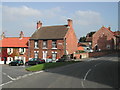
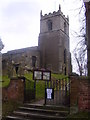
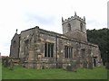
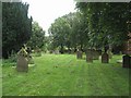
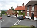
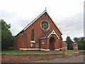
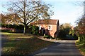
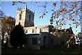
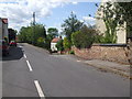
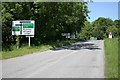
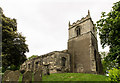
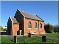
100 photos from this area
Area Information
Key information about the DN10 4RF including its size, population, and administrative classification.
- Area Type
- Postcode
- Area Size
- 5.1 hectares
- Population
- 2514
- Population Density
- 40 people/km²
House Prices in DN10 4RF
28
Properties
£286,639
Average Sold Price
£110,000
Lowest Price
£680,000
Highest Price
Showing 28 properties
| Address | Type | Beds | Baths | Last Sale Price | Last Sale Date | |
|---|---|---|---|---|---|---|
| White Hart, High Street, Gringley On The Hill, DN10 4RF | Detached | 5 | 3 | £525,000 | Aug 2021 | |
| The Croft, High Street, Gringley On The Hill, DN10 4RF | house | - | - | £410,000 | Jun 2021 | |
| Green Gables, High Street, Gringley On The Hill, DN10 4RF | house | - | - | £385,000 | May 2021 | |
| Ravencourt, High Street, Gringley On The Hill, DN10 4RF | Semi-detached | 4 | 3 | £680,000 | Feb 2018 | |
| The Summer House, High Street, Gringley On The Hill, DN10 4RF | house | - | - | £450,000 | Dec 2016 | |
| Bay Tree Cottage, High Street, Gringley On The Hill, DN10 4RF | Cottage | 3 | 1 | £262,500 | Aug 2016 | |
| Gringley On The Hill Post Office, High Street, Gringley On The Hill, DN10 4RF | Semi-detached | 3 | 2 | £246,000 | Apr 2016 | |
| Gosforth House, High Street, Gringley On The Hill, DN10 4RF | Detached | - | - | £280,000 | Aug 2007 | |
| The Coppers, High Street, Gringley On The Hill, DN10 4RF | Semi-detached | - | - | £250,000 | Oct 2005 | |
| Buttercross Cottage, High Street, Gringley On The Hill, DN10 4RF | Detached | - | - | £240,000 | Aug 2005 |
Page 1 of 3
Energy Efficiency in DN10 4RF
Amenities
Schools
| Rank | School | Type | Entry gender | Ages |
|---|
Explore more schools in this area
Go to Schools tabDemographics
Household Size
Two person
most common
Accommodation Type
Houses
most common
Tenure
79
majority
Ethnic Group
White
most common
Religion
N/A
most common
Household Composition
N/A
most common
Age
47
median
Adults (30-64 years)
most common
Household Deprivation
N/A
with no deprivation
NS-SEC
43
in Lower managerial occupations
Explore more demographic insights in this area
Go to Demographics tabPlanning
Planning Constraints
- Flood RiskPremium
- Ramsar Wetland SitesPremium
- Area of Outstanding Natural BeautyPremium
- Protected Nature ReservePremium
- Protected WoodlandPremium