Area Overview for DN10 4LR
Photos of DN10 4LR
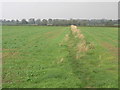
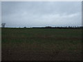

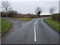
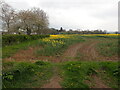

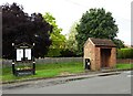
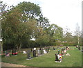
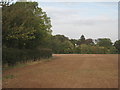
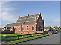


24 photos from this area
Area Information
Key information about the DN10 4LR including its size, population, and administrative classification.
- Area Type
- Postcode
- Area Size
- 30.7 hectares
- Population
- 2495
- Population Density
- 88 people/km²
House Prices in DN10 4LR
20
Properties
£369,942
Average Sold Price
£180,000
Lowest Price
£942,500
Highest Price
Showing 20 properties
| Address | Type | Beds | Baths | Last Sale Price | Last Sale Date | |
|---|---|---|---|---|---|---|
| Greenacres, West Moor Road, Walkeringham, DN10 4LR | Bungalow | 5 | 4 | £750,000 | Jul 2024 | |
| Mulberry House, West Moor Road, Walkeringham, DN10 4LR | house | 5 | 4 | £942,500 | Jun 2022 | |
| West View, West Moor Road, Walkeringham, DN10 4LR | house | - | - | £310,250 | Nov 2020 | |
| Ellens Cottage, West Moor Road, Walkeringham, DN10 4LR | Cottage | 3 | 1 | £300,000 | Sep 2019 | |
| Everglade House, West Moor Road, Walkeringham, DN10 4LR | Detached | 5 | 1 | £272,500 | Jul 2019 | |
| Honeysuckle House, West Moor Road, Walkeringham, DN10 4LR | house | - | - | £345,000 | Jan 2018 | |
| Cedar Barn, West Moor Road, Walkeringham, DN10 4LR | Detached | 5 | 3 | £340,000 | Oct 2017 | |
| Burley House, West Moor Road, Walkeringham, DN10 4LR | Detached | 4 | 1 | £240,000 | Oct 2012 | |
| Hawthorn House, West Moor Road, Walkeringham, DN10 4LR | house | 4 | - | £275,000 | Jun 2012 | |
| Field House, West Moor Road, Walkeringham, DN10 4LR | Detached | 5 | 1 | £259,000 | Feb 2006 |
Page 1 of 2
Energy Efficiency in DN10 4LR
Amenities
Schools
| Rank | School | Type | Entry gender | Ages |
|---|
Explore more schools in this area
Go to Schools tabDemographics
Household Size
Two person
most common
Accommodation Type
Houses
most common
Tenure
78
majority
Ethnic Group
White
most common
Religion
N/A
most common
Household Composition
N/A
most common
Age
47
median
Adults (30-64 years)
most common
Household Deprivation
N/A
with no deprivation
NS-SEC
33
in Lower managerial occupations
Explore more demographic insights in this area
Go to Demographics tabPlanning
Planning Constraints
- Flood RiskPremium
- Ramsar Wetland SitesPremium
- Area of Outstanding Natural BeautyPremium
- Protected Nature ReservePremium
- Protected WoodlandPremium