Area Overview for Derbyshire
Photos of Derbyshire

Area Information
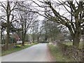
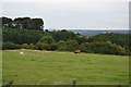
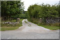
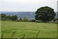
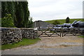
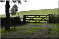
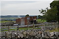
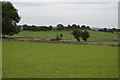
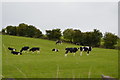
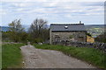
Derbyshire stands as a large ceremonial county in England, covering an extensive area of 2,630.7 square kilometres. This significant land mass creates a distinct split between urban towns and vast rural landscapes. You will find a region defined by its physical scale rather than a single concentrated city centre. The sheer size allows for diverse daily experiences, from commuting in urban outskirts to exploring open countryside. Living in Derbyshire means engaging with a landscape that dominates the local identity. The county does not offer a uniform environment but rather a collection of settlements spread across a wide geographical footprint. Prospective buyers must consider how this vastness affects their routine, as travel distances vary considerably between villages. The lack of a single dominant urban core shapes the nature of life here significantly. You should prepare for a lifestyle where open spaces define the hierarchy of places. Understanding the county's physical dimensions is the first step to grasping what it is like to call this area home.
- Area Type
- Ceremonial Counties Region
- Area Size
- 2630.7 km²
- Population
- Not available
- Population Density
- Not available
Demographics
The community profile in Derbyshire reveals a population with a notable median age of 70 years. This figure indicates a significant presence of older adults within the county. Most residents are retired or nearing retirement, which influences the local amenities and service demands. Home ownership remains a primary housing outcome, with 68% of households owning their accommodation outright or with a mortgage. This high ownership rate contrasts with areas with dominant rental markets. The demographic data does not specify the breakdown of household types beyond the overall age median. You should expect a neighbourhood where multi-generational households or empty-nesters form the majority of the social fabric. The county's settlement patterns reflect these age dynamics. Younger families are less represented in the average profile. This reality matters when considering schools or leisure facilities. The population structure suggests limited recent migration or a high outflow of working-age groups. Deprivation data is not included in the provided information for this region. Consequently, the quality of life outlook relies heavily on the stable nature of the existing home-owning population.