Area Overview for DE75 7LY
Photos of DE75 7LY
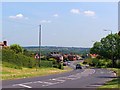
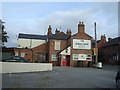
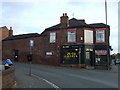
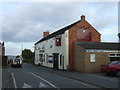
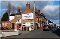
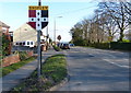
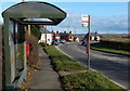

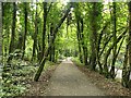
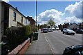
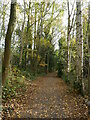
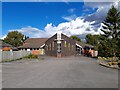
28 photos from this area
Area Information
Key information about the DE75 7LY including its size, population, and administrative classification.
- Area Type
- Postcode
- Area Size
- 11.5 hectares
- Population
- 1263
- Population Density
- 107 people/km²
House Prices in DE75 7LY
57
Properties
£247,083
Average Sold Price
£45,000
Lowest Price
£455,000
Highest Price
Showing 57 properties
| Address | Type | Beds | Baths | Last Sale Price | Last Sale Date | |
|---|---|---|---|---|---|---|
| 70 Hardy Barn, Shipley, Heanor, DE75 7LY | Detached | 3 | 2 | £455,000 | Aug 2025 | |
| 57 Hardy Barn, Shipley, Heanor, DE75 7LY | Detached | 3 | 1 | £295,000 | May 2025 | |
| 58 Hardy Barn, Shipley, Heanor, DE75 7LY | house | - | - | £410,000 | Mar 2025 | |
| 69 Hardy Barn, Shipley, Heanor, DE75 7LY | Detached | 3 | 2 | £350,000 | Feb 2025 | |
| 47 Hardy Barn, Shipley, Heanor, DE75 7LY | Detached | 4 | 3 | £400,000 | Jan 2024 | |
| 45 Hardy Barn, Shipley, Heanor, DE75 7LY | Detached | 2 | 1 | £217,000 | Apr 2023 | |
| 49 Hardy Barn, Shipley, Heanor, DE75 7LY | Detached | 3 | 1 | £315,000 | Oct 2022 | |
| 66 Hardy Barn, Shipley, Heanor, DE75 7LY | house | - | - | £373,750 | Nov 2021 | |
| 41 Hardy Barn, Shipley, Heanor, DE75 7LY | house | - | - | £240,000 | Sep 2021 | |
| Brookfield House, 72D Hardy Barn, Shipley, Heanor, DE75 7LY | house | - | - | £347,000 | Sep 2021 |
Page 1 of 6
Energy Efficiency in DE75 7LY
Amenities
Schools
| Rank | School | Type | Entry gender | Ages |
|---|
Explore more schools in this area
Go to Schools tabDemographics
Household Size
Two person
most common
Accommodation Type
Houses
most common
Tenure
74
majority
Ethnic Group
White
most common
Religion
N/A
most common
Household Composition
N/A
most common
Age
47
median
Adults (30-64 years)
most common
Household Deprivation
N/A
with no deprivation
NS-SEC
36
in Lower managerial occupations
Explore more demographic insights in this area
Go to Demographics tabPlanning
Planning Constraints
- Flood RiskPremium
- Ramsar Wetland SitesPremium
- Area of Outstanding Natural BeautyPremium
- Protected Nature ReservePremium
- Protected WoodlandPremium