Area Overview for DE74 2TW
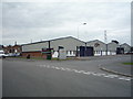
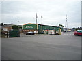
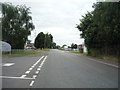
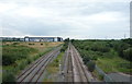
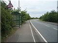
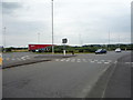
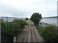
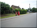
Photos of DE74 2TW
Area Information
Living in DE74 2TW offers a quiet, compact residential experience in a small cluster of homes spread across 9,574 square metres. With a population of just 1,128 people, the area maintains a low-key, community-focused atmosphere. The median age of 47 suggests a mature demographic, with most residents falling within the 30–64 age range. This is a place where homeownership dominates—78% of properties are owner-occupied—reflecting a stable, long-term presence. Daily life here is characterised by proximity to essential services, with nearby shops, transport links, and schools within practical reach. The area’s small size means it is likely to feel intimate, though its limited scale may also mean fewer amenities compared to larger towns. For those prioritising a peaceful, low-density environment with straightforward access to regional infrastructure, DE74 2TW could be an appealing choice. However, its modest size means buyers should consider the broader surrounding area for more extensive options.
- Area Type
- Postcode
- Area Size
- 9574 m²
- Population
- 1128
- Population Density
- 67 people/km²
DE74 2TW is primarily an owner-occupied area, with 78% of properties owned by their residents rather than rented. The housing stock is dominated by houses, not flats, which is typical of smaller, rural or semi-rural postcode areas. This suggests a market geared towards families or individuals seeking private, low-density living. The small size of the area—just 9,574 square metres—means the number of available properties is limited, which could make the local market competitive for buyers. Those considering the area should look beyond the immediate postcode to nearby regions for more housing options. The predominance of owner-occupied homes also implies that rental availability is scarce, which may be a consideration for those requiring flexible tenancy arrangements.
House Prices in DE74 2TW
Showing 1 properties
| Address | Type | Beds | Baths | Last Sale Price | Last Sale Date | |
|---|---|---|---|---|---|---|
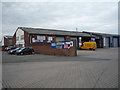
| Spatial Group Unit 7C, Warke Flatt, Castle Donington, DE74 2TW | storage_distribution | - | - | - | - |
Energy Efficiency in DE74 2TW
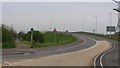
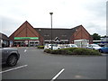
The lifestyle in DE74 2TW is shaped by its proximity to retail, transport, and regional infrastructure. Nearby shops include Co-op Station, Aldi Station Road, and Co-op Borough, offering basic grocery and household needs. The area’s rail and tram links provide access to larger towns and cities, while East Midlands Airport is within reach for regional travel. Though the postcode area is small, the practical reach of amenities suggests a functional, if limited, lifestyle. The absence of parks or leisure facilities in the immediate area means residents may need to travel for recreation, though the transport links can facilitate this. The combination of shops, transport, and nearby airports makes daily life here practical, though not particularly diverse in terms of leisure options.
Amenities
Schools
The nearest school to DE74 2TW is Hemington Primary School, a primary institution with a ‘good’ Ofsted rating. This provides families with a locally available option for early education, though the absence of secondary schools in the immediate area may require commuting to nearby towns. The presence of a primary school with a positive rating is a key factor for families prioritising proximity to educational facilities. However, the data does not include information on secondary schools or other educational institutions, so buyers should investigate further if schooling beyond primary level is a priority. The single school listed reflects the modest scale of the area, which may not support a broader range of educational options.
| Rank | School | Type | Entry gender | Ages |
|---|
Explore more schools in this area
Go to Schools tabDemographics
The community in DE74 2TW is predominantly composed of adults aged 30–64, with a median age of 47. This suggests a mature, established population, likely with strong family ties and long-term residency. Homeownership is high at 78%, indicating a stable housing market with few rental properties. The area is largely composed of houses, not flats, which aligns with the demographic profile of older, family-oriented residents. The predominant ethnic group is White, reflecting the broader regional trend. While the data does not specify deprivation levels, the combination of high homeownership and a mature age profile suggests a community with relatively stable economic conditions. However, the absence of detailed diversity metrics means the full range of social dynamics here remains unexplored.
Household Size
Accommodation Type
Tenure
Ethnic Group
Religion
Household Composition
Age
Household Deprivation
NS-SEC
Explore more demographic insights in this area
Go to Demographics tabPlanning
Planning Constraints
- Flood RiskPremium
- Ramsar Wetland SitesPremium
- Area of Outstanding Natural BeautyPremium
- Protected Nature ReservePremium
- Protected WoodlandPremium