Area Overview for DE74 2SB
Photos of DE74 2SB
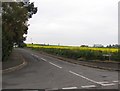
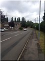
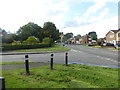
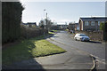
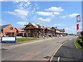
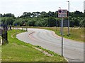

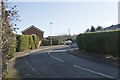
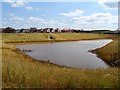
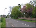
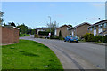
11 photos from this area
Area Information
Key information about the DE74 2SB including its size, population, and administrative classification.
- Area Type
- Postcode
- Area Size
- 16.4 hectares
- Population
- 2616
- Population Density
- 431 people/km²
House Prices in DE74 2SB
74
Properties
£292,656
Average Sold Price
£189,000
Lowest Price
£495,000
Highest Price
Showing 74 properties
| Address | Type | Beds | Baths | Last Sale Price | Last Sale Date | |
|---|---|---|---|---|---|---|
| 16 Craner Road, Castle Donington, DE74 2SB | Detached | 3 | 2 | £280,000 | Oct 2025 | |
| 15 Craner Road, Castle Donington, DE74 2SB | Terraced | 3 | 2 | £247,000 | Aug 2025 | |
| 8 Craner Road, Castle Donington, DE74 2SB | Detached | 3 | 2 | £358,750 | Apr 2025 | |
| 59 Craner Road, Castle Donington, DE74 2SB | Detached | 4 | 4 | £370,500 | Apr 2024 | |
| 41 Craner Road, Castle Donington, DE74 2SB | house | - | - | £215,000 | Dec 2023 | |
| 44 Craner Road, Castle Donington, DE74 2SB | Semi-detached | 3 | 2 | £258,000 | Feb 2023 | |
| 17 Craner Road, Castle Donington, DE74 2SB | house | - | - | £407,500 | Jan 2023 | |
| 30 Craner Road, Castle Donington, DE74 2SB | Semi-detached | 4 | 2 | £320,000 | Nov 2022 | |
| 80 Craner Road, Castle Donington, DE74 2SB | house | - | - | £410,000 | Aug 2022 | |
| 18 Craner Road, Castle Donington, DE74 2SB | Retail | 3 | 1 | £278,000 | Mar 2022 |
Page 1 of 8
Energy Efficiency in DE74 2SB
Amenities
Schools
| Rank | School | Type | Entry gender | Ages |
|---|
Explore more schools in this area
Go to Schools tabDemographics
Household Size
Two person
most common
Accommodation Type
Houses
most common
Tenure
81
majority
Ethnic Group
White
most common
Religion
N/A
most common
Household Composition
N/A
most common
Age
47
median
Adults (30-64 years)
most common
Household Deprivation
N/A
with no deprivation
NS-SEC
47
in Lower managerial occupations
Explore more demographic insights in this area
Go to Demographics tabPlanning
Planning Constraints
- Flood RiskPremium
- Ramsar Wetland SitesPremium
- Area of Outstanding Natural BeautyPremium
- Protected Nature ReservePremium
- Protected WoodlandPremium