Area Overview for DE73 6UZ
Photos of DE73 6UZ
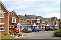
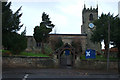
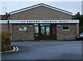
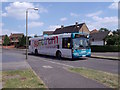
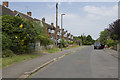
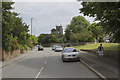
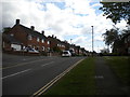
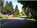
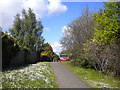
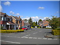
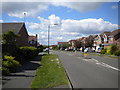
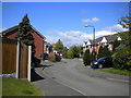
33 photos from this area
Area Information
Key information about the DE73 6UZ including its size, population, and administrative classification.
- Area Type
- Postcode
- Area Size
- 5314 m²
- Population
- 2078
- Population Density
- 3028 people/km²
House Prices in DE73 6UZ
13
Properties
£157,595
Average Sold Price
£50,000
Lowest Price
£235,000
Highest Price
Showing 13 properties
| Address | Type | Beds | Baths | Last Sale Price | Last Sale Date | |
|---|---|---|---|---|---|---|
| 13 Bridle Close, Derby, DE73 6UZ | house | 3 | 1 | £235,000 | May 2025 | |
| 1A Bridle Close, Derby, DE73 6UZ | Detached | 3 | 1 | £219,000 | Apr 2024 | |
| 9 Bridle Close, Derby, DE73 6UZ | house | - | - | £235,000 | Nov 2022 | |
| 7 Bridle Close, Derby, DE73 6UZ | Semi-detached | 3 | - | £181,700 | Apr 2018 | |
| 5 Bridle Close, Derby, DE73 6UZ | Semi-detached | 3 | 1 | £175,000 | Nov 2017 | |
| 23 Bridle Close, Derby, DE73 6UZ | house | 3 | - | £142,000 | Mar 2011 | |
| 21 Bridle Close, Derby, DE73 6UZ | house | - | - | £141,000 | Jan 2008 | |
| 17 Bridle Close, Derby, DE73 6UZ | Semi-detached | - | - | £143,000 | Jan 2006 | |
| 3 Bridle Close, Derby, DE73 6UZ | house | - | - | £54,250 | Apr 2000 | |
| 11 Bridle Close, Derby, DE73 6UZ | house | - | - | £50,000 | Jul 1996 |
Page 1 of 2
Energy Efficiency in DE73 6UZ
Amenities
Schools
| Rank | School | Type | Entry gender | Ages |
|---|
Explore more schools in this area
Go to Schools tabDemographics
Household Size
Family (3-5 people)
most common
Accommodation Type
Houses
most common
Tenure
61
majority
Ethnic Group
White
most common
Religion
N/A
most common
Household Composition
N/A
most common
Age
47
median
Adults (30-64 years)
most common
Household Deprivation
N/A
with no deprivation
NS-SEC
35
in Lower managerial occupations
Explore more demographic insights in this area
Go to Demographics tabPlanning
Planning Constraints
- Flood RiskPremium
- Ramsar Wetland SitesPremium
- Area of Outstanding Natural BeautyPremium
- Protected Nature ReservePremium
- Protected WoodlandPremium