Area Overview for DE72 3NS
Photos of DE72 3NS
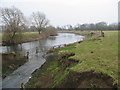
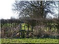
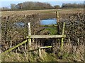
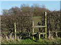
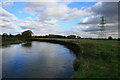
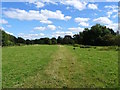
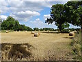
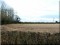
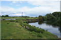
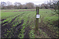
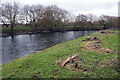
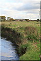
24 photos from this area
Area Information
Key information about the DE72 3NS including its size, population, and administrative classification.
- Area Type
- Postcode
- Area Size
- 27.2 hectares
- Population
- 1499
- Population Density
- 419 people/km²
House Prices in DE72 3NS
77
Properties
£181,686
Average Sold Price
£48,000
Lowest Price
£470,000
Highest Price
Showing 77 properties
| Address | Type | Beds | Baths | Last Sale Price | Last Sale Date | |
|---|---|---|---|---|---|---|
| 78 Lime Grove, Draycott, DE72 3NS | Detached | 3 | 1 | £280,000 | Aug 2025 | |
| 70 Lime Grove, Draycott, DE72 3NS | Semi-detached | 3 | 1 | £248,000 | Dec 2024 | |
| 21 Lime Grove, Draycott, DE72 3NS | Semi-detached | 3 | 1 | £164,000 | May 2024 | |
| 82 Lime Grove, Draycott, DE72 3NS | Detached | 4 | 2 | £435,000 | Feb 2024 | |
| 8 Lime Grove, Draycott, DE72 3NS | Bungalow | 3 | 2 | £470,000 | Feb 2023 | |
| 60 Lime Grove, Draycott, DE72 3NS | Semi-detached | 3 | 2 | £336,000 | Aug 2022 | |
| 72 Lime Grove, Draycott, DE72 3NS | Retail | 4 | 2 | £255,000 | Jul 2022 | |
| 51 Lime Grove, Draycott, DE72 3NS | house | - | - | £210,000 | Dec 2021 | |
| 5 Lime Grove, Draycott, DE72 3NS | house | - | - | £160,000 | Apr 2021 | |
| 61 Lime Grove, Draycott, DE72 3NS | house | - | - | £195,000 | Apr 2021 |
Page 1 of 8
Energy Efficiency in DE72 3NS
Amenities
Schools
| Rank | School | Type | Entry gender | Ages |
|---|
Explore more schools in this area
Go to Schools tabDemographics
Household Size
Two person
most common
Accommodation Type
Houses
most common
Tenure
71
majority
Ethnic Group
White
most common
Religion
N/A
most common
Household Composition
N/A
most common
Age
47
median
Adults (30-64 years)
most common
Household Deprivation
N/A
with no deprivation
NS-SEC
32
in Lower managerial occupations
Explore more demographic insights in this area
Go to Demographics tabPlanning
Planning Constraints
- Flood RiskPremium
- Ramsar Wetland SitesPremium
- Area of Outstanding Natural BeautyPremium
- Protected Nature ReservePremium
- Protected WoodlandPremium