Area Overview for DE7 8UY
Photos of DE7 8UY
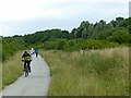
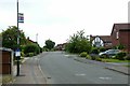
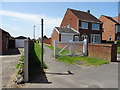
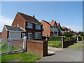
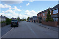
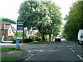
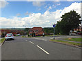
22 photos from this area
Area Information
Key information about the DE7 8UY including its size, population, and administrative classification.
- Area Type
- Postcode
- Area Size
- 1.3 hectares
- Population
- 1268
- Population Density
- 4077 people/km²
House Prices in DE7 8UY
24
Properties
£140,831
Average Sold Price
£42,500
Lowest Price
£265,000
Highest Price
Showing 24 properties
| Address | Type | Beds | Baths | Last Sale Price | Last Sale Date | |
|---|---|---|---|---|---|---|
| 15 Windley Drive, Ilkeston, DE7 8UY | Detached | 3 | 1 | £265,000 | Jul 2025 | |
| 7 Windley Drive, Ilkeston, DE7 8UY | Semi-detached | 3 | 1 | £200,000 | Jun 2025 | |
| 27 Windley Drive, Ilkeston, DE7 8UY | Semi-detached | 3 | 1 | £255,000 | Jan 2025 | |
| 5 Windley Drive, Ilkeston, DE7 8UY | house | - | - | £155,000 | Sep 2020 | |
| 17 Windley Drive, Ilkeston, DE7 8UY | Semi-detached | 3 | 1 | £173,000 | Aug 2019 | |
| 12 Windley Drive, Ilkeston, DE7 8UY | house | - | - | £144,000 | Jun 2017 | |
| 16 Windley Drive, Ilkeston, DE7 8UY | Semi-detached | 3 | - | £105,000 | Apr 2014 | |
| 8 Windley Drive, Ilkeston, DE7 8UY | Semi-detached | 3 | 1 | £115,000 | Jan 2014 | |
| 19 Windley Drive, Ilkeston, DE7 8UY | Semi-detached | 3 | - | £120,000 | Nov 2013 | |
| 22 Windley Drive, Ilkeston, DE7 8UY | house | 4 | - | £165,000 | Mar 2011 |
Page 1 of 3
Energy Efficiency in DE7 8UY
Amenities
Schools
| Rank | School | Type | Entry gender | Ages |
|---|
Explore more schools in this area
Go to Schools tabDemographics
Household Size
Two person
most common
Accommodation Type
Houses
most common
Tenure
88
majority
Ethnic Group
White
most common
Religion
N/A
most common
Household Composition
N/A
most common
Age
47
median
Adults (30-64 years)
most common
Household Deprivation
N/A
with no deprivation
NS-SEC
28
in Lower managerial occupations
Explore more demographic insights in this area
Go to Demographics tabPlanning
Planning Constraints
- Flood RiskPremium
- Ramsar Wetland SitesPremium
- Area of Outstanding Natural BeautyPremium
- Protected Nature ReservePremium
- Protected WoodlandPremium