Area Overview for DE7 6FB
Photos of DE7 6FB
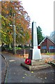
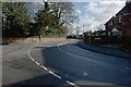
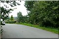
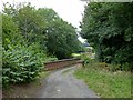
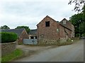
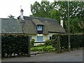
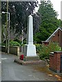
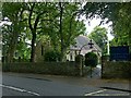
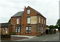
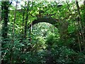
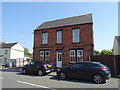
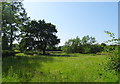
33 photos from this area
Area Information
Key information about the DE7 6FB including its size, population, and administrative classification.
- Area Type
- Postcode
- Area Size
- 14.6 hectares
- Population
- 2224
- Population Density
- 456 people/km²
House Prices in DE7 6FB
73
Properties
£200,189
Average Sold Price
£40,000
Lowest Price
£570,000
Highest Price
Showing 73 properties
| Address | Type | Beds | Baths | Last Sale Price | Last Sale Date | |
|---|---|---|---|---|---|---|
| 126 Station Road, Stanley, DE7 6FB | Terraced | 2 | 1 | £128,000 | Jan 2025 | |
| 28 Station Road, Stanley, DE7 6FB | Bungalow | 2 | 1 | £280,000 | Aug 2023 | |
| 112 Station Road, Stanley, DE7 6FB | Terraced | 2 | 1 | £230,000 | Sep 2022 | |
| 100 Station Road, Stanley, DE7 6FB | Semi-detached | 3 | 2 | £287,500 | Jul 2022 | |
| 83 Station Road, Stanley, DE7 6FB | Detached | 4 | 1 | £386,000 | Dec 2021 | |
| 81 Station Road, Stanley, DE7 6FB | house | 3 | 1 | £345,000 | Sep 2021 | |
| 118 Station Road, Stanley, DE7 6FB | Terraced | 2 | 1 | £132,500 | Feb 2021 | |
| Hall Farm, 18 Station Road, Stanley, DE7 6FB | Semi-detached | 6 | 2 | £415,000 | Aug 2018 | |
| 136 Station Road, Stanley, DE7 6FB | Semi-detached | 3 | 1 | £157,950 | Nov 2016 | |
| 64 Station Road, Stanley, DE7 6FB | Detached | 5 | 3 | £390,000 | Aug 2016 |
Page 1 of 8
Energy Efficiency in DE7 6FB
Amenities
Schools
| Rank | School | Type | Entry gender | Ages |
|---|
Explore more schools in this area
Go to Schools tabDemographics
Household Size
Two person
most common
Accommodation Type
Houses
most common
Tenure
72
majority
Ethnic Group
White
most common
Religion
N/A
most common
Household Composition
N/A
most common
Age
47
median
Adults (30-64 years)
most common
Household Deprivation
N/A
with no deprivation
NS-SEC
32
in Lower managerial occupations
Explore more demographic insights in this area
Go to Demographics tabPlanning
Planning Constraints
- Flood RiskPremium
- Ramsar Wetland SitesPremium
- Area of Outstanding Natural BeautyPremium
- Protected Nature ReservePremium
- Protected WoodlandPremium