Area Overview for DE7 4DD
Photos of DE7 4DD
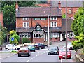
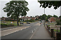
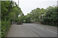
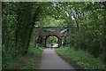

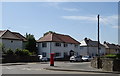
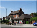
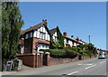
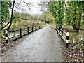
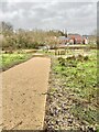
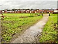
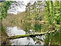
42 photos from this area
Area Information
Key information about the DE7 4DD including its size, population, and administrative classification.
- Area Type
- Postcode
- Area Size
- 2.0 hectares
- Population
- 2348
- Population Density
- 3047 people/km²
House Prices in DE7 4DD
26
Properties
£201,156
Average Sold Price
£60,000
Lowest Price
£353,000
Highest Price
Showing 26 properties
| Address | Type | Beds | Baths | Last Sale Price | Last Sale Date | |
|---|---|---|---|---|---|---|
| 155 Longfield Lane, Ilkeston, DE7 4DD | Semi-detached | 2 | 1 | £172,000 | Oct 2020 | |
| 147 Longfield Lane, Ilkeston, DE7 4DD | Semi-detached | 2 | 1 | £165,000 | May 2020 | |
| 139 Longfield Lane, Ilkeston, DE7 4DD | Detached | 4 | 2 | £350,000 | Oct 2019 | |
| 143 Longfield Lane, Ilkeston, DE7 4DD | Semi-detached | 3 | 1 | £190,000 | Jul 2019 | |
| 151 Longfield Lane, Ilkeston, DE7 4DD | Semi-detached | 5 | 1 | £136,000 | May 2018 | |
| 159 Longfield Lane, Ilkeston, DE7 4DD | Detached | 4 | 2 | £300,000 | May 2017 | |
| Wayside, Longfield Lane, Ilkeston, DE7 4DD | Detached | 3 | - | £353,000 | May 2014 | |
| 137 Longfield Lane, Ilkeston, DE7 4DD | house | - | - | £203,000 | Aug 2013 | |
| 133 Longfield Lane, Ilkeston, DE7 4DD | house | - | - | £164,000 | May 2012 | |
| 163 Longfield Lane, Ilkeston, DE7 4DD | Bungalow | - | - | £187,000 | Nov 2009 |
Page 1 of 3
Energy Efficiency in DE7 4DD
Amenities
Schools
| Rank | School | Type | Entry gender | Ages |
|---|
Explore more schools in this area
Go to Schools tabDemographics
Household Size
Two person
most common
Accommodation Type
Houses
most common
Tenure
87
majority
Ethnic Group
White
most common
Religion
N/A
most common
Household Composition
N/A
most common
Age
47
median
Adults (30-64 years)
most common
Household Deprivation
N/A
with no deprivation
NS-SEC
38
in Lower managerial occupations
Explore more demographic insights in this area
Go to Demographics tabPlanning
Planning Constraints
- Flood RiskPremium
- Ramsar Wetland SitesPremium
- Area of Outstanding Natural BeautyPremium
- Protected Nature ReservePremium
- Protected WoodlandPremium