Area Overview for DE65 5QP
Photos of DE65 5QP
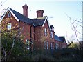
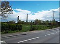
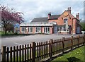
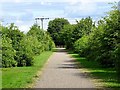
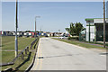
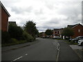
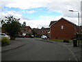
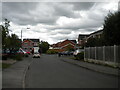
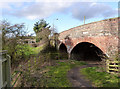
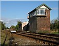
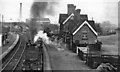
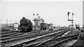
18 photos from this area
Area Information
Key information about the DE65 5QP including its size, population, and administrative classification.
- Area Type
- Postcode
- Area Size
- 4.5 hectares
- Population
- 2710
- Population Density
- 1742 people/km²
House Prices in DE65 5QP
54
Properties
£242,452
Average Sold Price
£95,150
Lowest Price
£373,995
Highest Price
Showing 54 properties
| Address | Type | Beds | Baths | Last Sale Price | Last Sale Date | |
|---|---|---|---|---|---|---|
| 20 Blackbrook Road, Hilton, Derby, DE65 5QP | Detached | 4 | 3 | £325,000 | Aug 2025 | |
| 40 Blackbrook Road, Hilton, Derby, DE65 5QP | Semi-detached | 4 | 2 | £283,000 | May 2025 | |
| 41 Blackbrook Road, Hilton, Derby, DE65 5QP | Detached | 3 | 2 | £267,000 | May 2025 | |
| 35 Blackbrook Road, Hilton, Derby, DE65 5QP | Detached | 3 | 2 | £270,000 | Jun 2024 | |
| 54 Blackbrook Road, Hilton, Derby, DE65 5QP | house | - | - | £95,150 | Jun 2023 | |
| 52 Blackbrook Road, Hilton, Derby, DE65 5QP | house | - | - | £95,150 | Jun 2023 | |
| 42 Blackbrook Road, Hilton, Derby, DE65 5QP | house | - | - | £279,995 | May 2023 | |
| 38 Blackbrook Road, Hilton, Derby, DE65 5QP | house | - | - | £203,697 | Apr 2023 | |
| 26 Blackbrook Road, Hilton, Derby, DE65 5QP | house | - | - | £195,996 | Apr 2023 | |
| 32 Blackbrook Road, Hilton, Derby, DE65 5QP | Semi-detached | 3 | 2 | £182,696 | Mar 2023 |
Page 1 of 6
Energy Efficiency in DE65 5QP
Amenities
Schools
| Rank | School | Type | Entry gender | Ages |
|---|
Explore more schools in this area
Go to Schools tabDemographics
Household Size
Family (3-5 people)
most common
Accommodation Type
Houses
most common
Tenure
76
majority
Ethnic Group
White
most common
Religion
N/A
most common
Household Composition
N/A
most common
Age
47
median
Adults (30-64 years)
most common
Household Deprivation
N/A
with no deprivation
NS-SEC
47
in Lower managerial occupations
Explore more demographic insights in this area
Go to Demographics tabPlanning
Planning Constraints
- Flood RiskPremium
- Ramsar Wetland SitesPremium
- Area of Outstanding Natural BeautyPremium
- Protected Nature ReservePremium
- Protected WoodlandPremium