Area Overview for DE65 5EH
Photos of DE65 5EH
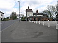
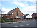
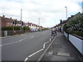
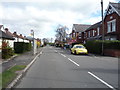
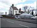
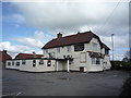
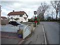
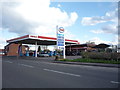
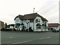
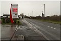
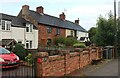
31 photos from this area
Area Information
Key information about the DE65 5EH including its size, population, and administrative classification.
- Area Type
- Postcode
- Area Size
- 2.3 hectares
- Population
- 1247
- Population Density
- 1278 people/km²
House Prices in DE65 5EH
60
Properties
£156,931
Average Sold Price
£39,000
Lowest Price
£397,500
Highest Price
Showing 60 properties
| Address | Type | Beds | Baths | Last Sale Price | Last Sale Date | |
|---|---|---|---|---|---|---|
| 126 Station Road, Hatton, Derby, DE65 5EH | Terraced | 3 | 1 | £145,000 | May 2024 | |
| 164 Station Road, Hatton, Derby, DE65 5EH | Terraced | 2 | 1 | £200,000 | Mar 2024 | |
| 150 Station Road, Hatton, Derby, DE65 5EH | Terraced | 1 | 1 | £128,000 | Mar 2024 | |
| 106 Station Road, Hatton, Derby, DE65 5EH | Terraced | 2 | 1 | £145,000 | Sep 2023 | |
| 184 Station Road, Hatton, Derby, DE65 5EH | Terraced | 3 | 1 | £205,000 | Aug 2023 | |
| 152 Station Road, Hatton, Derby, DE65 5EH | house | - | - | £165,000 | Apr 2022 | |
| 148 Station Road, Hatton, Derby, DE65 5EH | house | 1 | - | £145,000 | Feb 2022 | |
| 86 Station Road, Hatton, Derby, DE65 5EH | house | - | - | £325,000 | Oct 2021 | |
| 88 Station Road, Hatton, Derby, DE65 5EH | house | - | - | £375,000 | Oct 2021 | |
| 110 Station Road, Hatton, Derby, DE65 5EH | house | - | - | £146,000 | Aug 2021 |
Page 1 of 6
Energy Efficiency in DE65 5EH
Amenities
Schools
| Rank | School | Type | Entry gender | Ages |
|---|
Explore more schools in this area
Go to Schools tabDemographics
Household Size
Two person
most common
Accommodation Type
Houses
most common
Tenure
81
majority
Ethnic Group
White
most common
Religion
N/A
most common
Household Composition
N/A
most common
Age
47
median
Adults (30-64 years)
most common
Household Deprivation
N/A
with no deprivation
NS-SEC
30
in Lower managerial occupations
Explore more demographic insights in this area
Go to Demographics tabPlanning
Planning Constraints
- Flood RiskPremium
- Ramsar Wetland SitesPremium
- Area of Outstanding Natural BeautyPremium
- Protected Nature ReservePremium
- Protected WoodlandPremium