Area Overview for DE6 2EE
Photos of DE6 2EE
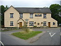
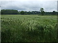
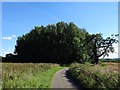
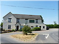
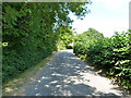
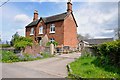
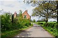
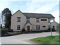
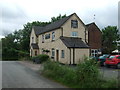
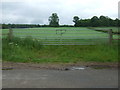
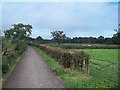
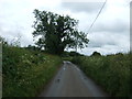
15 photos from this area
Area Information
Key information about the DE6 2EE including its size, population, and administrative classification.
- Area Type
- Postcode
- Area Size
- 1.3 km²
- Population
- 1737
- Population Density
- 32 people/km²
House Prices in DE6 2EE
14
Properties
£312,983
Average Sold Price
£29,000
Lowest Price
£660,000
Highest Price
Showing 14 properties
| Address | Type | Beds | Baths | Last Sale Price | Last Sale Date | |
|---|---|---|---|---|---|---|
| The Walsage, Mill Lane, Roston, DE6 2EE | Detached | 5 | 1 | £660,000 | Aug 2016 | |
| Alfross House, Meadow Lane, Roston, DE6 2EE | house | - | - | £29,000 | Nov 2002 | |
| Walsage House, Mill Lane, Roston, DE6 2EE | house | - | - | £249,950 | Apr 2001 | |
| Jasmine House, Mill Lane, Roston, DE6 2EE | Detached | 3 | - | - | - | |
| Camp Site, Roston Inn, Mill Lane, Roston, DE6 2EE | Leisure | - | - | - | - | |
| Flat Above, Roston Inn, Mill Lane, Roston, DE6 2EE | Flat | - | - | - | - | |
| Ivy Cottage, Roston Inn, Mill Lane, Roston, DE6 2EE | Bungalow | 1 | - | - | - | |
| Rose Cottage, Roston Inn, Mill Lane, Roston, DE6 2EE | Bungalow | 3 | - | - | - | |
| Garage South East Of Alfross House, Mill Lane, Roston, DE6 2EE | warehouse | - | - | - | - | |
| Swinholme Farm, Meadow Lane, Roston, DE6 2EE | house | - | - | - | - |
Page 1 of 2
Energy Efficiency in DE6 2EE
Amenities
Schools
| Rank | School | Type | Entry gender | Ages |
|---|
Explore more schools in this area
Go to Schools tabDemographics
Household Size
Two person
most common
Accommodation Type
Houses
most common
Tenure
81
majority
Ethnic Group
White
most common
Religion
N/A
most common
Household Composition
N/A
most common
Age
47
median
Adults (30-64 years)
most common
Household Deprivation
N/A
with no deprivation
NS-SEC
41
in Lower managerial occupations
Explore more demographic insights in this area
Go to Demographics tabPlanning
Planning Constraints
- Flood RiskPremium
- Ramsar Wetland SitesPremium
- Area of Outstanding Natural BeautyPremium
- Protected Nature ReservePremium
- Protected WoodlandPremium