Area Overview for DE6 1JL
Photos of DE6 1JL
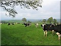
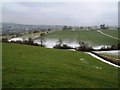
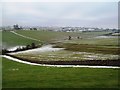
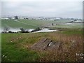
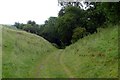
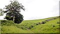
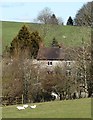
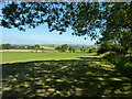
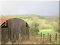
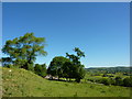
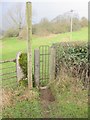
11 photos from this area
Area Information
Key information about the DE6 1JL including its size, population, and administrative classification.
- Area Type
- Postcode
- Area Size
- 1.3 km²
- Population
- 1770
- Population Density
- 27 people/km²
House Prices in DE6 1JL
27
Properties
£339,500
Average Sold Price
£180,000
Lowest Price
£480,000
Highest Price
Showing 27 properties
| Address | Type | Beds | Baths | Last Sale Price | Last Sale Date | |
|---|---|---|---|---|---|---|
| 1, Ostrich Cottages, Longrose Lane, Kniveton, DE6 1JL | Semi-detached | 3 | 2 | £375,000 | Aug 2024 | |
| Carrick House, Longrose Lane, Kniveton, DE6 1JL | Detached | 4 | 2 | £305,000 | Sep 2017 | |
| Willersley, Longrose Lane, Kniveton, DE6 1JL | Detached | 5 | - | £434,000 | Oct 2015 | |
| Longacres, Longrose Lane, Kniveton, DE6 1JL | Bungalow | - | - | £412,000 | Sep 2014 | |
| Lark Rise, Longrose Lane, Kniveton, DE6 1JL | Detached | - | - | £480,000 | Nov 2007 | |
| 6, Ostrich Cottages, Longrose Lane, Kniveton, DE6 1JL | Semi-detached | - | - | £180,000 | Jul 2007 | |
| 8, Ostrich Cottages, Longrose Lane, Kniveton, DE6 1JL | Semi-detached | - | - | £190,500 | Feb 2006 | |
| Swallowtail Barn, Longrose Lane, Kniveton, DE6 1JL | Land | - | - | - | - | |
| Solar Panels At, Peak Waste Recycling Limited, Wood Lane, Kniveton, DE6 1JL | Industrial | - | - | - | - | |
| Kitty Steps, New House Farm, Longrose Lane, Kniveton, DE6 1JL | Detached | - | - | - | - |
Page 1 of 3
Energy Efficiency in DE6 1JL
Amenities
Schools
| Rank | School | Type | Entry gender | Ages |
|---|
Explore more schools in this area
Go to Schools tabDemographics
Household Size
Two person
most common
Accommodation Type
Houses
most common
Tenure
82
majority
Ethnic Group
White
most common
Religion
N/A
most common
Household Composition
N/A
most common
Age
47
median
Adults (30-64 years)
most common
Household Deprivation
N/A
with no deprivation
NS-SEC
38
in Lower managerial occupations
Explore more demographic insights in this area
Go to Demographics tabPlanning
Planning Constraints
- Flood RiskPremium
- Ramsar Wetland SitesPremium
- Area of Outstanding Natural BeautyPremium
- Protected Nature ReservePremium
- Protected WoodlandPremium