Area Overview for DE6 1DX
Photos of DE6 1DX
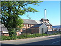
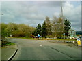
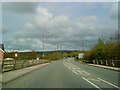
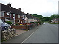
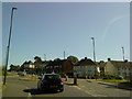
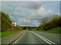
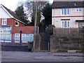
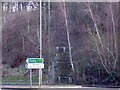
27 photos from this area
Area Information
Key information about the DE6 1DX including its size, population, and administrative classification.
- Area Type
- Postcode
- Area Size
- 3.0 hectares
- Population
- 1762
- Population Density
- 2622 people/km²
House Prices in DE6 1DX
81
Properties
£105,582
Average Sold Price
£24,500
Lowest Price
£228,000
Highest Price
Showing 81 properties
| Address | Type | Beds | Baths | Last Sale Price | Last Sale Date | |
|---|---|---|---|---|---|---|
| 20 Highfield Road, Ashbourne, DE6 1DX | Terraced | 3 | 1 | £195,000 | Jan 2025 | |
| 1 Highfield Road, Ashbourne, DE6 1DX | Semi-detached | 3 | 1 | £170,000 | Mar 2024 | |
| 19 Highfield Road, Ashbourne, DE6 1DX | house | - | - | £171,500 | Dec 2023 | |
| 11 Highfield Road, Ashbourne, DE6 1DX | Terraced | 4 | - | £228,000 | Sep 2023 | |
| 49 Highfield Road, Ashbourne, DE6 1DX | Semi-detached | 2 | 1 | £185,000 | Aug 2023 | |
| 9 Highfield Road, Ashbourne, DE6 1DX | house | - | - | £195,000 | Jun 2022 | |
| 74 Highfield Road, Ashbourne, DE6 1DX | Terraced | 2 | 1 | £160,000 | May 2022 | |
| 33 Highfield Road, Ashbourne, DE6 1DX | Semi-detached | 3 | 1 | £152,000 | Dec 2020 | |
| 76 Highfield Road, Ashbourne, DE6 1DX | house | 2 | 1 | £83,200 | May 2020 | |
| 55 Highfield Road, Ashbourne, DE6 1DX | Semi-detached | 2 | 1 | £145,000 | Oct 2019 |
Page 1 of 9
Energy Efficiency in DE6 1DX
Amenities
Schools
| Rank | School | Type | Entry gender | Ages |
|---|
Explore more schools in this area
Go to Schools tabDemographics
Household Size
One person
most common
Accommodation Type
Houses
most common
Tenure
55
majority
Ethnic Group
White
most common
Religion
N/A
most common
Household Composition
N/A
most common
Age
47
median
Adults (30-64 years)
most common
Household Deprivation
N/A
with no deprivation
NS-SEC
29
in Lower managerial occupations
Explore more demographic insights in this area
Go to Demographics tabPlanning
Planning Constraints
- Flood RiskPremium
- Ramsar Wetland SitesPremium
- Area of Outstanding Natural BeautyPremium
- Protected Nature ReservePremium
- Protected WoodlandPremium