Area Overview for DE56 4GE
Photos of DE56 4GE
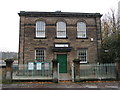
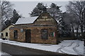
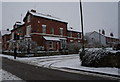
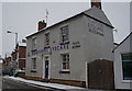
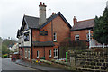
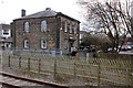
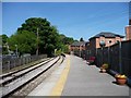
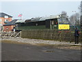
100 photos from this area
Area Information
Key information about the DE56 4GE including its size, population, and administrative classification.
- Area Type
- Postcode
- Area Size
- 1.5 hectares
- Population
- 1568
- Population Density
- 411 people/km²
House Prices in DE56 4GE
32
Properties
£324,816
Average Sold Price
£99,950
Lowest Price
£585,000
Highest Price
Showing 32 properties
| Address | Type | Beds | Baths | Last Sale Price | Last Sale Date | |
|---|---|---|---|---|---|---|
| 4 Ecclesbourne Avenue, Duffield, Belper, DE56 4GE | Semi-detached | 3 | 1 | £395,000 | May 2025 | |
| 9 Ecclesbourne Avenue, Duffield, Belper, DE56 4GE | Semi-detached | 3 | 1 | £415,000 | Jul 2024 | |
| 7 Ecclesbourne Avenue, Duffield, Belper, DE56 4GE | Semi-detached | 5 | 2 | £506,999 | Apr 2024 | |
| 11 Ecclesbourne Avenue, Duffield, Belper, DE56 4GE | Detached | 4 | 2 | £585,000 | Apr 2024 | |
| 5 Ecclesbourne Avenue, Duffield, Belper, DE56 4GE | Semi-detached | 4 | 2 | £435,000 | Jun 2023 | |
| 12 Ecclesbourne Avenue, Duffield, Belper, DE56 4GE | house | - | - | £300,000 | Jun 2022 | |
| Strath House, 8B Ecclesbourne Avenue, Duffield, Belper, DE56 4GE | Detached | 3 | 1 | £359,950 | Apr 2019 | |
| 26 Ecclesbourne Avenue, Duffield, Belper, DE56 4GE | Bungalow | - | - | £362,500 | Feb 2019 | |
| 20 Ecclesbourne Avenue, Duffield, Belper, DE56 4GE | Semi-detached | 3 | - | £200,000 | May 2017 | |
| 17 Ecclesbourne Avenue, Duffield, Belper, DE56 4GE | Detached | 3 | - | £389,000 | Apr 2017 |
Page 1 of 4
Energy Efficiency in DE56 4GE
Amenities
Schools
| Rank | School | Type | Entry gender | Ages |
|---|
Explore more schools in this area
Go to Schools tabDemographics
Household Size
One person
most common
Accommodation Type
Houses
most common
Tenure
75
majority
Ethnic Group
White
most common
Religion
N/A
most common
Household Composition
N/A
most common
Age
47
median
Adults (30-64 years)
most common
Household Deprivation
N/A
with no deprivation
NS-SEC
51
in Lower managerial occupations
Explore more demographic insights in this area
Go to Demographics tabPlanning
Planning Constraints
- Flood RiskPremium
- Ramsar Wetland SitesPremium
- Area of Outstanding Natural BeautyPremium
- Protected Nature ReservePremium
- Protected WoodlandPremium