Area Overview for DE56 4AG
Photos of DE56 4AG

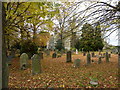
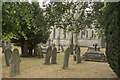
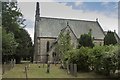
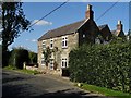
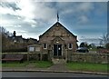
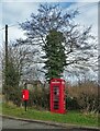
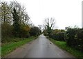
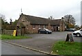
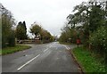
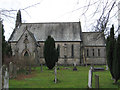
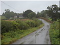
19 photos from this area
Area Information
Key information about the DE56 4AG including its size, population, and administrative classification.
- Area Type
- Postcode
- Area Size
- 1.0 km²
- Population
- 1514
- Population Density
- 34 people/km²
House Prices in DE56 4AG
22
Properties
£960,429
Average Sold Price
£275,000
Lowest Price
£2,450,000
Highest Price
Showing 22 properties
| Address | Type | Beds | Baths | Last Sale Price | Last Sale Date | |
|---|---|---|---|---|---|---|
| Hawthorn Cottage, Over Lane, Hazelwood, Belper, DE56 4AG | house | - | - | £977,500 | May 2024 | |
| Overlane House, Over Lane, Hazelwood, Belper, DE56 4AG | house | - | - | £1,080,000 | Nov 2022 | |
| Postern Hill Farm, Over Lane, Hazelwood, Belper, DE56 4AG | house | - | - | £2,450,000 | Jan 2022 | |
| The Deer Leap, Over Lane, Hazelwood, Belper, DE56 4AG | house | - | - | £1,140,000 | Mar 2021 | |
| Lane End House, Over Lane, Hazelwood, Belper, DE56 4AG | Semi-detached | 3 | 3 | £450,500 | Dec 2013 | |
| Old School House, Over Lane, Hazelwood, Belper, DE56 4AG | Detached | - | - | £275,000 | Oct 2000 | |
| Postern Hill Barns, Over Lane, Hazelwood, Belper, DE56 4AG | Detached | - | - | £350,000 | Oct 2000 | |
| Lynam Croft, Over Lane, Hazelwood, Belper, DE56 4AG | Detached | 4 | 2 | - | - | |
| Old Beams, Over Lane, Hazelwood, Belper, DE56 4AG | Detached | 4 | 2 | - | - | |
| Stocksplace Farm, Over Lane, Hazelwood, Belper, DE56 4AG | house | 5 | - | - | - |
Page 1 of 3
Energy Efficiency in DE56 4AG
Amenities
Schools
| Rank | School | Type | Entry gender | Ages |
|---|
Explore more schools in this area
Go to Schools tabDemographics
Household Size
Two person
most common
Accommodation Type
Houses
most common
Tenure
86
majority
Ethnic Group
White
most common
Religion
N/A
most common
Household Composition
N/A
most common
Age
47
median
Adults (30-64 years)
most common
Household Deprivation
N/A
with no deprivation
NS-SEC
43
in Lower managerial occupations
Explore more demographic insights in this area
Go to Demographics tabPlanning
Planning Constraints
- Flood RiskPremium
- Ramsar Wetland SitesPremium
- Area of Outstanding Natural BeautyPremium
- Protected Nature ReservePremium
- Protected WoodlandPremium