Area Overview for DE56 2SG
Photos of DE56 2SG
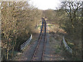
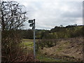
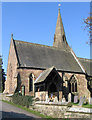
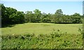
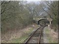

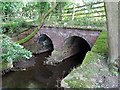
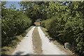
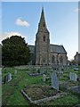
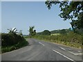
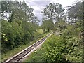
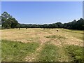
35 photos from this area
Area Information
Key information about the DE56 2SG including its size, population, and administrative classification.
- Area Type
- Postcode
- Area Size
- 41.5 hectares
- Population
- 1514
- Population Density
- 34 people/km²
House Prices in DE56 2SG
9
Properties
£592,600
Average Sold Price
£270,000
Lowest Price
£1,220,000
Highest Price
Showing 9 properties
| Address | Type | Beds | Baths | Last Sale Price | Last Sale Date | |
|---|---|---|---|---|---|---|
| Southsitch, Wirksworth Road, Idridgehay, Belper, DE56 2SG | Land | 1 | - | £1,220,000 | Jul 2018 | |
| The Old Butchers Shop, Wirksworth Road, Idridgehay, Belper, DE56 2SG | Detached | 4 | - | £270,000 | Apr 2015 | |
| The Old School House, Wirksworth Road, Idridgehay, Belper, DE56 2SG | house | 5 | 3 | £625,000 | Mar 2014 | |
| Garden Cottage, Wirksworth Road, Idridgehay, Belper, DE56 2SG | Semi-detached | 4 | - | £475,000 | Mar 2007 | |
| The Cottage, Wirksworth Road, Idridgehay, Belper, DE56 2SG | Cottage | 2 | 1 | £373,000 | Feb 1999 | |
| Southsitch Cottage, Wirksworth Road, Idridgehay, Belper, DE56 2SG | Detached | 4 | 3 | - | - | |
| Ta The Black Swan, The Black Swan, Wirksworth Road, Idridgehay, Belper, DE56 2SG | restaurant_cafe | - | - | - | - | |
| Holme Farm, Wirksworth Road, Idridgehay, Belper, DE56 2SG | Detached | - | - | - | - | |
| Rose Bank, Wirksworth Road, Idridgehay, Belper, DE56 2SG | Bungalow | - | - | - | - |
Energy Efficiency in DE56 2SG
Amenities
Schools
| Rank | School | Type | Entry gender | Ages |
|---|
Explore more schools in this area
Go to Schools tabDemographics
Household Size
Two person
most common
Accommodation Type
Houses
most common
Tenure
86
majority
Ethnic Group
White
most common
Religion
N/A
most common
Household Composition
N/A
most common
Age
47
median
Adults (30-64 years)
most common
Household Deprivation
N/A
with no deprivation
NS-SEC
43
in Lower managerial occupations
Explore more demographic insights in this area
Go to Demographics tabPlanning
Planning Constraints
- Flood RiskPremium
- Ramsar Wetland SitesPremium
- Area of Outstanding Natural BeautyPremium
- Protected Nature ReservePremium
- Protected WoodlandPremium