Area Overview for DE56 2SD
Photos of DE56 2SD
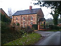
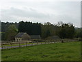
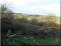
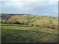
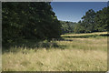
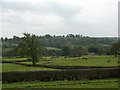
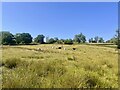
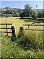
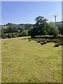
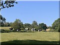
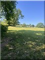
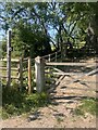
12 photos from this area
Area Information
Key information about the DE56 2SD including its size, population, and administrative classification.
- Area Type
- Postcode
- Area Size
- 1.4 km²
- Population
- 1514
- Population Density
- 34 people/km²
House Prices in DE56 2SD
27
Properties
£341,136
Average Sold Price
£55,000
Lowest Price
£625,000
Highest Price
Showing 27 properties
| Address | Type | Beds | Baths | Last Sale Price | Last Sale Date | |
|---|---|---|---|---|---|---|
| Garden Cottage, Gorses, Ireton Wood, Belper, DE56 2SD | Semi-detached | 2 | 1 | £270,000 | Aug 2019 | |
| Holly Cottage, Gorses, Ireton Wood, Belper, DE56 2SD | house | 2 | 1 | £270,000 | Oct 2018 | |
| Nest Farm, Gorses, Ireton Wood, Belper, DE56 2SD | Detached | 3 | 1 | £420,000 | Sep 2018 | |
| Sheridan Cottage, Gorses, Ireton Wood, Belper, DE56 2SD | Detached | 3 | 1 | £405,000 | Aug 2018 | |
| Wood Cottage, Gorses, Ireton Wood, Belper, DE56 2SD | Detached | 2 | 1 | £310,000 | Aug 2018 | |
| The Laurels, Gorses, Ireton Wood, Belper, DE56 2SD | house | - | - | £455,000 | Apr 2018 | |
| Mount Pleasant Cottage, Bullhill Lane, Ireton Wood, DE56 2SD | Farm | 4 | 3 | £625,000 | Jul 2015 | |
| White House Barn, New Road, Ireton Wood, Belper, DE56 2SD | Semi-detached | 3 | 1 | £160,000 | Sep 2014 | |
| Whitehouse Farm, New Road, Ireton Wood, Belper, DE56 2SD | Farm | 3 | 1 | £405,000 | Jun 2014 | |
| Swallow Barn, Gorses, Ireton Wood, Belper, DE56 2SD | Detached | - | - | £377,500 | Jul 2006 |
Page 1 of 3
Energy Efficiency in DE56 2SD
Amenities
Schools
| Rank | School | Type | Entry gender | Ages |
|---|
Explore more schools in this area
Go to Schools tabDemographics
Household Size
Two person
most common
Accommodation Type
Houses
most common
Tenure
86
majority
Ethnic Group
White
most common
Religion
N/A
most common
Household Composition
N/A
most common
Age
47
median
Adults (30-64 years)
most common
Household Deprivation
N/A
with no deprivation
NS-SEC
43
in Lower managerial occupations
Explore more demographic insights in this area
Go to Demographics tabPlanning
Planning Constraints
- Flood RiskPremium
- Ramsar Wetland SitesPremium
- Area of Outstanding Natural BeautyPremium
- Protected Nature ReservePremium
- Protected WoodlandPremium