Area Overview for DE56 2AG
Photos of DE56 2AG
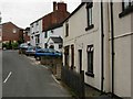
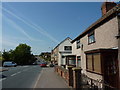
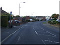
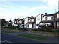
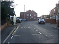
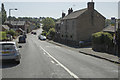
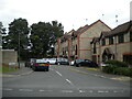
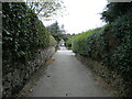
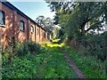
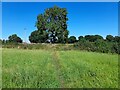
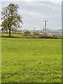
44 photos from this area
Area Information
Key information about the DE56 2AG including its size, population, and administrative classification.
- Area Type
- Postcode
- Area Size
- 10.4 hectares
- Population
- 1517
- Population Density
- 211 people/km²
House Prices in DE56 2AG
100
Properties
£192,735
Average Sold Price
£5,000
Lowest Price
£530,000
Highest Price
Showing 100 properties
| Address | Type | Beds | Baths | Last Sale Price | Last Sale Date | |
|---|---|---|---|---|---|---|
| 85 Brook Street, Heage, Belper, DE56 2AG | house | - | - | £82,000 | Jun 2025 | |
| 34 Brook Street, Heage, Belper, DE56 2AG | Semi-detached | 2 | 1 | £140,000 | Jun 2025 | |
| 31 Brook Street, Heage, Belper, DE56 2AG | Semi-detached | 3 | 1 | £353,000 | May 2025 | |
| 29 Brook Street, Heage, Belper, DE56 2AG | Cottage | 2 | 1 | £215,000 | Oct 2024 | |
| 87 Brook Street, Heage, Belper, DE56 2AG | Terraced | 3 | 1 | £167,500 | Jul 2024 | |
| 5 Brook Street, Heage, Belper, DE56 2AG | Detached | 3 | 1 | £180,000 | Mar 2024 | |
| 99 Brook Street, Heage, Belper, DE56 2AG | Terraced | 2 | 2 | £179,000 | Feb 2024 | |
| Saddlewood House, 65 Brook Street, Heage, Belper, DE56 2AG | Semi-detached | 4 | 2 | £515,000 | Mar 2023 | |
| 24 Brook Street, Heage, Belper, DE56 2AG | Semi-detached | 2 | 1 | £219,950 | Jan 2023 | |
| 71 Brook Street, Heage, Belper, DE56 2AG | Detached | 4 | 3 | £354,250 | Dec 2022 |
Page 1 of 10
Energy Efficiency in DE56 2AG
Amenities
Schools
| Rank | School | Type | Entry gender | Ages |
|---|
Explore more schools in this area
Go to Schools tabDemographics
Household Size
Two person
most common
Accommodation Type
Houses
most common
Tenure
86
majority
Ethnic Group
White
most common
Religion
N/A
most common
Household Composition
N/A
most common
Age
47
median
Adults (30-64 years)
most common
Household Deprivation
N/A
with no deprivation
NS-SEC
36
in Lower managerial occupations
Explore more demographic insights in this area
Go to Demographics tabPlanning
Planning Constraints
- Flood RiskPremium
- Ramsar Wetland SitesPremium
- Area of Outstanding Natural BeautyPremium
- Protected Nature ReservePremium
- Protected WoodlandPremium