Area Overview for DE56 1UY
Photos of DE56 1UY

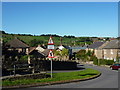
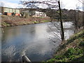
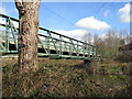

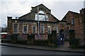
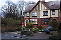
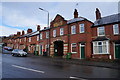
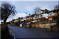
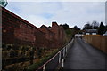
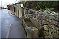
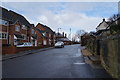
81 photos from this area
Area Information
Key information about the DE56 1UY including its size, population, and administrative classification.
- Area Type
- Postcode
- Area Size
- 6786 m²
- Population
- 1981
- Population Density
- 2857 people/km²
House Prices in DE56 1UY
16
Properties
£179,325
Average Sold Price
£59,950
Lowest Price
£425,000
Highest Price
Showing 16 properties
| Address | Type | Beds | Baths | Last Sale Price | Last Sale Date | |
|---|---|---|---|---|---|---|
| Rose Mount, 13 Prospect Drive, Belper, DE56 1UY | house | 3 | 1 | £425,000 | Nov 2025 | |
| 19 Prospect Drive, Belper, DE56 1UY | house | - | - | £83,000 | May 2024 | |
| 27 Prospect Drive, Belper, DE56 1UY | house | 3 | 2 | £283,500 | Jun 2021 | |
| 9 Prospect Drive, Belper, DE56 1UY | Semi-detached | 3 | 1 | £222,000 | Feb 2018 | |
| 25 Prospect Drive, Belper, DE56 1UY | Semi-detached | 3 | 1 | £140,000 | Feb 2018 | |
| 7 Prospect Drive, Belper, DE56 1UY | Semi-detached | 3 | - | £162,500 | Jul 2017 | |
| 21 Prospect Drive, Belper, DE56 1UY | Semi-detached | 3 | 1 | £160,000 | Jul 2015 | |
| 15 Prospect Drive, Belper, DE56 1UY | house | - | - | £145,000 | Oct 2013 | |
| 17 Prospect Drive, Belper, DE56 1UY | house | 3 | - | £157,500 | Aug 2012 | |
| 23 Prospect Drive, Belper, DE56 1UY | house | - | - | £168,500 | Dec 2007 |
Page 1 of 2
Energy Efficiency in DE56 1UY
Amenities
Schools
| Rank | School | Type | Entry gender | Ages |
|---|
Explore more schools in this area
Go to Schools tabDemographics
Household Size
One person
most common
Accommodation Type
Houses
most common
Tenure
58
majority
Ethnic Group
White
most common
Religion
N/A
most common
Household Composition
N/A
most common
Age
47
median
Adults (30-64 years)
most common
Household Deprivation
N/A
with no deprivation
NS-SEC
31
in Lower managerial occupations
Explore more demographic insights in this area
Go to Demographics tabPlanning
Planning Constraints
- Flood RiskPremium
- Ramsar Wetland SitesPremium
- Area of Outstanding Natural BeautyPremium
- Protected Nature ReservePremium
- Protected WoodlandPremium