Area Overview for DE56 1FL
Photos of DE56 1FL

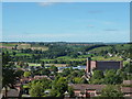
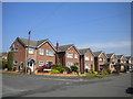
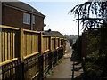

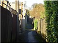
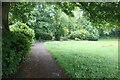
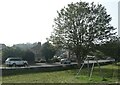
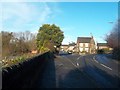
22 photos from this area
Area Information
Key information about the DE56 1FL including its size, population, and administrative classification.
- Area Type
- Postcode
- Area Size
- 1.0 hectares
- Population
- 1682
- Population Density
- 4866 people/km²
House Prices in DE56 1FL
29
Properties
£177,438
Average Sold Price
£137,500
Lowest Price
£257,500
Highest Price
Showing 29 properties
| Address | Type | Beds | Baths | Last Sale Price | Last Sale Date | |
|---|---|---|---|---|---|---|
| 15 Laund Avenue, Belper, DE56 1FL | Semi-detached | 2 | 1 | £172,000 | Sep 2023 | |
| 7 Laund Avenue, Belper, DE56 1FL | Semi-detached | 2 | - | £216,500 | Apr 2022 | |
| 3 Laund Avenue, Belper, DE56 1FL | house | - | - | £245,000 | Sep 2021 | |
| 17 Laund Avenue, Belper, DE56 1FL | Semi-detached | 2 | 1 | £155,000 | Sep 2021 | |
| 25 Laund Avenue, Belper, DE56 1FL | Semi-detached | 3 | 1 | £205,000 | Jan 2021 | |
| 22 Laund Avenue, Belper, DE56 1FL | house | 2 | 1 | £152,000 | Oct 2019 | |
| 21 Laund Avenue, Belper, DE56 1FL | Semi-detached | 2 | 1 | £165,000 | May 2018 | |
| 2 Laund Avenue, Belper, DE56 1FL | Semi-detached | 4 | - | £174,000 | Oct 2017 | |
| 12 Laund Avenue, Belper, DE56 1FL | Semi-detached | 3 | 1 | £155,000 | Sep 2017 | |
| 1 Laund Avenue, Belper, DE56 1FL | Semi-detached | 2 | - | £162,500 | Sep 2016 |
Page 1 of 3
Energy Efficiency in DE56 1FL
Amenities
Schools
| Rank | School | Type | Entry gender | Ages |
|---|
Explore more schools in this area
Go to Schools tabDemographics
Household Size
Two person
most common
Accommodation Type
Houses
most common
Tenure
85
majority
Ethnic Group
White
most common
Religion
N/A
most common
Household Composition
N/A
most common
Age
47
median
Adults (30-64 years)
most common
Household Deprivation
N/A
with no deprivation
NS-SEC
34
in Lower managerial occupations
Explore more demographic insights in this area
Go to Demographics tabPlanning
Planning Constraints
- Flood RiskPremium
- Ramsar Wetland SitesPremium
- Area of Outstanding Natural BeautyPremium
- Protected Nature ReservePremium
- Protected WoodlandPremium