Area Overview for DE56 1EP
Photos of DE56 1EP
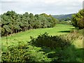
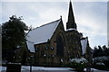
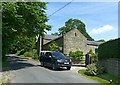
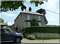
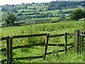
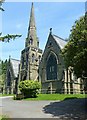
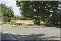
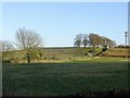
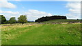
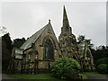
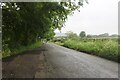
19 photos from this area
Area Information
Key information about the DE56 1EP including its size, population, and administrative classification.
- Area Type
- Postcode
- Area Size
- 27.5 hectares
- Population
- 1388
- Population Density
- 1121 people/km²
House Prices in DE56 1EP
44
Properties
£229,529
Average Sold Price
£40,000
Lowest Price
£570,000
Highest Price
Showing 44 properties
| Address | Type | Beds | Baths | Last Sale Price | Last Sale Date | |
|---|---|---|---|---|---|---|
| 194 Crich Lane, Belper, DE56 1EP | Semi-detached | 2 | 1 | £201,000 | Apr 2024 | |
| 162 Crich Lane, Belper, DE56 1EP | Semi-detached | 3 | 2 | £275,000 | Feb 2024 | |
| 178 Crich Lane, Belper, DE56 1EP | Detached | 3 | 4 | £565,000 | Dec 2021 | |
| 170 Crich Lane, Belper, DE56 1EP | house | - | - | £270,000 | Oct 2021 | |
| 206 Crich Lane, Belper, DE56 1EP | Detached | 3 | 2 | £570,000 | Dec 2020 | |
| 142 Crich Lane, Belper, DE56 1EP | Semi-detached | 3 | 1 | £195,000 | Feb 2018 | |
| 138 Crich Lane, Belper, DE56 1EP | house | - | - | £160,000 | Sep 2016 | |
| 132 Crich Lane, Belper, DE56 1EP | Semi-detached | - | - | £100,000 | Mar 2016 | |
| 144 Crich Lane, Belper, DE56 1EP | house | - | - | £399,950 | May 2014 | |
| 154 Crich Lane, Belper, DE56 1EP | house | - | - | £220,000 | Oct 2013 |
Page 1 of 5
Energy Efficiency in DE56 1EP
Amenities
Schools
| Rank | School | Type | Entry gender | Ages |
|---|
Explore more schools in this area
Go to Schools tabDemographics
Household Size
Two person
most common
Accommodation Type
Houses
most common
Tenure
86
majority
Ethnic Group
White
most common
Religion
N/A
most common
Household Composition
N/A
most common
Age
47
median
Adults (30-64 years)
most common
Household Deprivation
N/A
with no deprivation
NS-SEC
35
in Lower managerial occupations
Explore more demographic insights in this area
Go to Demographics tabPlanning
Planning Constraints
- Flood RiskPremium
- Ramsar Wetland SitesPremium
- Area of Outstanding Natural BeautyPremium
- Protected Nature ReservePremium
- Protected WoodlandPremium