Area Overview for DE56 0QR
Photos of DE56 0QR
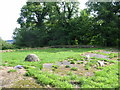
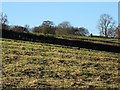
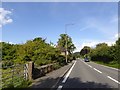
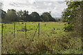
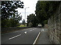
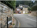
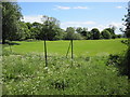
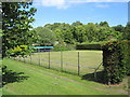
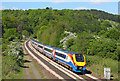
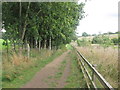
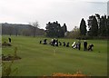
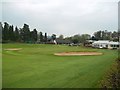
22 photos from this area
Area Information
Key information about the DE56 0QR including its size, population, and administrative classification.
- Area Type
- Postcode
- Area Size
- 16.7 hectares
- Population
- 1896
- Population Density
- 456 people/km²
House Prices in DE56 0QR
50
Properties
£283,708
Average Sold Price
£37,500
Lowest Price
£656,000
Highest Price
Showing 50 properties
| Address | Type | Beds | Baths | Last Sale Price | Last Sale Date | |
|---|---|---|---|---|---|---|
| 22 Sunny Hill, Milford, Belper, DE56 0QR | house | 1 | 1 | £136,000 | Nov 2024 | |
| 17 Sunny Hill, Milford, Belper, DE56 0QR | Terraced | 2 | 2 | £209,000 | May 2024 | |
| Rose Cottage, 43 Sunny Hill, Milford, Belper, DE56 0QR | house | 3 | 2 | £622,500 | Oct 2023 | |
| 11 Sunny Hill, Milford, Belper, DE56 0QR | house | - | - | £419,000 | Jun 2023 | |
| 5 Sunny Hill, Milford, Belper, DE56 0QR | Detached | 2 | 1 | £260,000 | Feb 2022 | |
| 2A Sunny Hill, Milford, Belper, DE56 0QR | Bungalow | 2 | 1 | £255,000 | Jan 2022 | |
| 47 Sunny Hill, Milford, Belper, DE56 0QR | house | - | - | £602,500 | Jun 2021 | |
| 37 Sunny Hill, Milford, Belper, DE56 0QR | Terraced | 3 | - | £315,000 | Mar 2020 | |
| Green Bank, 28 Sunny Hill, Milford, Belper, DE56 0QR | Detached | 4 | 2 | £499,950 | Jun 2019 | |
| 33 Sunny Hill, Milford, Belper, DE56 0QR | Terraced | 1 | 1 | £135,000 | Mar 2018 |
Page 1 of 5
Energy Efficiency in DE56 0QR
Amenities
Schools
| Rank | School | Type | Entry gender | Ages |
|---|
Explore more schools in this area
Go to Schools tabDemographics
Household Size
Two person
most common
Accommodation Type
Houses
most common
Tenure
81
majority
Ethnic Group
White
most common
Religion
N/A
most common
Household Composition
N/A
most common
Age
47
median
Adults (30-64 years)
most common
Household Deprivation
N/A
with no deprivation
NS-SEC
41
in Lower managerial occupations
Explore more demographic insights in this area
Go to Demographics tabPlanning
Planning Constraints
- Flood RiskPremium
- Ramsar Wetland SitesPremium
- Area of Outstanding Natural BeautyPremium
- Protected Nature ReservePremium
- Protected WoodlandPremium