Area Overview for DE56 0PT
Photos of DE56 0PT
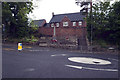
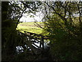
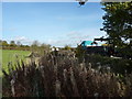

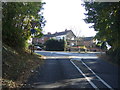

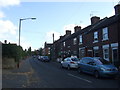
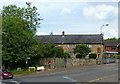
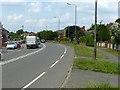
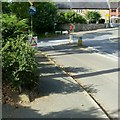
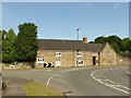

31 photos from this area
Area Information
Key information about the DE56 0PT including its size, population, and administrative classification.
- Area Type
- Postcode
- Area Size
- 1.6 hectares
- Population
- 1497
- Population Density
- 3096 people/km²
House Prices in DE56 0PT
37
Properties
£148,953
Average Sold Price
£43,950
Lowest Price
£250,000
Highest Price
Showing 37 properties
| Address | Type | Beds | Baths | Last Sale Price | Last Sale Date | |
|---|---|---|---|---|---|---|
| 37 Dale View Gardens, Kilburn, Belper, DE56 0PT | Detached | 2 | 1 | £205,000 | Sep 2025 | |
| 35 Dale View Gardens, Kilburn, Belper, DE56 0PT | Bungalow | 2 | 1 | £227,000 | Dec 2024 | |
| 45 Dale View Gardens, Kilburn, Belper, DE56 0PT | Semi-detached | 3 | 1 | £250,000 | Jan 2023 | |
| 3 Dale View Gardens, Kilburn, Belper, DE56 0PT | Semi-detached | 3 | - | £197,000 | Oct 2020 | |
| 2 Dale View Gardens, Kilburn, Belper, DE56 0PT | Bungalow | 2 | 1 | £140,000 | Jun 2020 | |
| 16 Dale View Gardens, Kilburn, Belper, DE56 0PT | Detached | 3 | - | £215,000 | May 2019 | |
| 31 Dale View Gardens, Kilburn, Belper, DE56 0PT | Bungalow | 2 | 1 | £165,000 | Dec 2018 | |
| 25 Dale View Gardens, Kilburn, Belper, DE56 0PT | Semi-detached | 3 | 1 | £174,000 | Jan 2018 | |
| 53 Dale View Gardens, Kilburn, Belper, DE56 0PT | Detached | 3 | 1 | £206,000 | Nov 2016 | |
| 27 Dale View Gardens, Kilburn, Belper, DE56 0PT | Bungalow | - | - | £117,000 | Feb 2014 |
Page 1 of 4
Energy Efficiency in DE56 0PT
Amenities
Schools
| Rank | School | Type | Entry gender | Ages |
|---|
Explore more schools in this area
Go to Schools tabDemographics
Household Size
Two person
most common
Accommodation Type
Houses
most common
Tenure
58
majority
Ethnic Group
White
most common
Religion
N/A
most common
Household Composition
N/A
most common
Age
47
median
Adults (30-64 years)
most common
Household Deprivation
N/A
with no deprivation
NS-SEC
27
in Lower managerial occupations
Explore more demographic insights in this area
Go to Demographics tabPlanning
Planning Constraints
- Flood RiskPremium
- Ramsar Wetland SitesPremium
- Area of Outstanding Natural BeautyPremium
- Protected Nature ReservePremium
- Protected WoodlandPremium