Area Overview for DE55 7JL
Photos of DE55 7JL
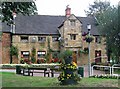
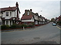
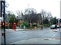
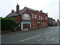
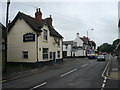
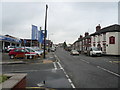
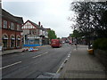
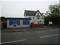
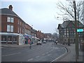
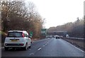
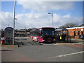
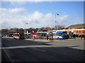
67 photos from this area
Area Information
Key information about the DE55 7JL including its size, population, and administrative classification.
- Area Type
- Postcode
- Area Size
- 1.4 hectares
- Population
- 1450
- Population Density
- 4505 people/km²
House Prices in DE55 7JL
38
Properties
£79,991
Average Sold Price
£25,950
Lowest Price
£150,000
Highest Price
Showing 38 properties
| Address | Type | Beds | Baths | Last Sale Price | Last Sale Date | |
|---|---|---|---|---|---|---|
| 48 Mansfield Road, Alfreton, DE55 7JL | Semi-detached | 2 | 1 | £150,000 | Dec 2023 | |
| 56 Mansfield Road, Alfreton, DE55 7JL | Semi-detached | 2 | 1 | £112,500 | Dec 2021 | |
| 72 Mansfield Road, Alfreton, DE55 7JL | house | 1 | - | £85,000 | Oct 2016 | |
| 60 Mansfield Road, Alfreton, DE55 7JL | Semi-detached | 3 | 2 | £72,000 | Apr 2015 | |
| 70 Mansfield Road, Alfreton, DE55 7JL | Terraced | 3 | 1 | £100,000 | Mar 2014 | |
| 40 Mansfield Road, Alfreton, DE55 7JL | house | - | - | £103,000 | Nov 2004 | |
| 62 Mansfield Road, Alfreton, DE55 7JL | Semi-detached | - | - | £75,000 | Mar 2004 | |
| 66 Mansfield Road, Alfreton, DE55 7JL | Terraced | - | - | £67,000 | Apr 2003 | |
| 32 Mansfield Road, Alfreton, DE55 7JL | Semi-detached | - | - | £29,950 | Nov 1998 | |
| 58 Mansfield Road, Alfreton, DE55 7JL | Semi-detached | 3 | 1 | £25,950 | Oct 1998 |
Page 1 of 4
Energy Efficiency in DE55 7JL
Amenities
Schools
| Rank | School | Type | Entry gender | Ages |
|---|
Explore more schools in this area
Go to Schools tabDemographics
Household Size
One person
most common
Accommodation Type
Houses
most common
Tenure
48
majority
Ethnic Group
White
most common
Religion
N/A
most common
Household Composition
N/A
most common
Age
47
median
Adults (30-64 years)
most common
Household Deprivation
N/A
with no deprivation
NS-SEC
15
in Lower managerial occupations
Explore more demographic insights in this area
Go to Demographics tabPlanning
Planning Constraints
- Flood RiskPremium
- Ramsar Wetland SitesPremium
- Area of Outstanding Natural BeautyPremium
- Protected Nature ReservePremium
- Protected WoodlandPremium