Area Overview for DE55 7GL
Photos of DE55 7GL
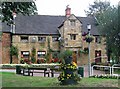
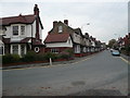
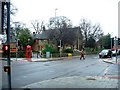
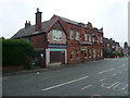
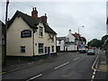
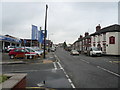
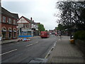
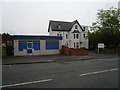
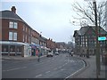
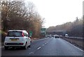
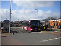
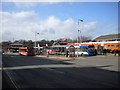
67 photos from this area
Area Information
Key information about the DE55 7GL including its size, population, and administrative classification.
- Area Type
- Postcode
- Area Size
- 9080 m²
- Population
- 1450
- Population Density
- 4505 people/km²
House Prices in DE55 7GL
25
Properties
£75,468
Average Sold Price
£13,000
Lowest Price
£185,000
Highest Price
Showing 25 properties
| Address | Type | Beds | Baths | Last Sale Price | Last Sale Date | |
|---|---|---|---|---|---|---|
| 98 Nottingham Road, Alfreton, DE55 7GL | Semi-detached | 3 | 1 | £185,000 | Jul 2025 | |
| 60 Nottingham Road, Alfreton, DE55 7GL | Terraced | 2 | 1 | £80,000 | Mar 2023 | |
| 70 Nottingham Road, Alfreton, DE55 7GL | Terraced | 3 | 1 | £78,000 | Aug 2021 | |
| 64 Nottingham Road, Alfreton, DE55 7GL | house | - | - | £52,500 | Jul 2018 | |
| 88 Nottingham Road, Alfreton, DE55 7GL | Terraced | 2 | 1 | £62,000 | Apr 2016 | |
| 66 Nottingham Road, Alfreton, DE55 7GL | Terraced | 3 | 1 | £60,000 | Mar 2014 | |
| 76 Nottingham Road, Alfreton, DE55 7GL | house | 6 | 2 | £100,000 | Dec 2013 | |
| 72 Nottingham Road, Alfreton, DE55 7GL | house | 2 | 1 | £43,000 | Jun 2013 | |
| 100 Nottingham Road, Alfreton, DE55 7GL | Detached | 5 | 1 | £110,000 | Apr 2012 | |
| 74 Nottingham Road, Alfreton, DE55 7GL | house | 2 | - | £57,000 | Oct 2010 |
Page 1 of 3
Energy Efficiency in DE55 7GL
Amenities
Schools
| Rank | School | Type | Entry gender | Ages |
|---|
Explore more schools in this area
Go to Schools tabDemographics
Household Size
One person
most common
Accommodation Type
Houses
most common
Tenure
48
majority
Ethnic Group
White
most common
Religion
N/A
most common
Household Composition
N/A
most common
Age
47
median
Adults (30-64 years)
most common
Household Deprivation
N/A
with no deprivation
NS-SEC
15
in Lower managerial occupations
Explore more demographic insights in this area
Go to Demographics tabPlanning
Planning Constraints
- Flood RiskPremium
- Ramsar Wetland SitesPremium
- Area of Outstanding Natural BeautyPremium
- Protected Nature ReservePremium
- Protected WoodlandPremium