Area Overview for DE55 7DP
Photos of DE55 7DP
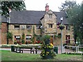
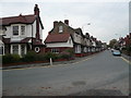
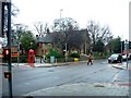
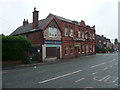
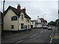
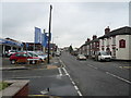
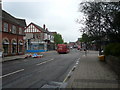
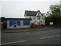
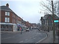
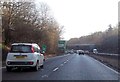
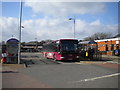
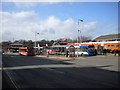
67 photos from this area
Area Information
Key information about the DE55 7DP including its size, population, and administrative classification.
- Area Type
- Postcode
- Area Size
- 8914 m²
- Population
- 1712
- Population Density
- 860 people/km²
House Prices in DE55 7DP
15
Properties
£150,000
Average Sold Price
£150,000
Lowest Price
£150,000
Highest Price
Showing 15 properties
| Address | Type | Beds | Baths | Last Sale Price | Last Sale Date | |
|---|---|---|---|---|---|---|
| 95A High Street, Alfreton, DE55 7DP | Flat | 2 | 1 | £150,000 | Apr 2021 | |
| Flat 1, 101 High Street, Alfreton, DE55 7DP | Flat | - | - | - | - | |
| Flat 2, 101 High Street, Alfreton, DE55 7DP | Flat | 1 | 1 | - | - | |
| Flat 1, 69-71 High Street, Alfreton, DE55 7DP | Flat | - | - | - | - | |
| 69-71 High Street, Alfreton, DE55 7DP | restaurant_cafe | 1 | 1 | - | - | |
| Flat 2, 113A High Street, Alfreton, DE55 7DP | Flat | - | - | - | - | |
| Flat, 81 High Street, Alfreton, DE55 7DP | Flat | - | - | - | - | |
| Flat 1, 113A High Street, Alfreton, DE55 7DP | Flat | - | - | - | - | |
| Kerrys Domestic Appliances, 83 High Street, Alfreton, DE55 7DP | retail_financial | - | - | - | - | |
| Fish Bar, 123 High Street, Alfreton, DE55 7DP | retail_financial | - | - | - | - |
Page 1 of 2
Energy Efficiency in DE55 7DP
Amenities
Schools
| Rank | School | Type | Entry gender | Ages |
|---|
Explore more schools in this area
Go to Schools tabDemographics
Household Size
One person
most common
Accommodation Type
Houses
most common
Tenure
48
majority
Ethnic Group
White
most common
Religion
N/A
most common
Household Composition
N/A
most common
Age
47
median
Adults (30-64 years)
most common
Household Deprivation
N/A
with no deprivation
NS-SEC
21
in Lower managerial occupations
Explore more demographic insights in this area
Go to Demographics tabPlanning
Planning Constraints
- Flood RiskPremium
- Ramsar Wetland SitesPremium
- Area of Outstanding Natural BeautyPremium
- Protected Nature ReservePremium
- Protected WoodlandPremium