Area Overview for DE55 6HW
Photos of DE55 6HW
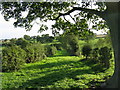
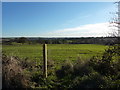
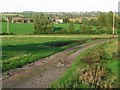

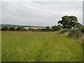
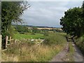

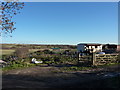


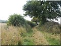
12 photos from this area
Area Information
Key information about the DE55 6HW including its size, population, and administrative classification.
- Area Type
- Postcode
- Area Size
- 8.6 hectares
- Population
- 1350
- Population Density
- 1141 people/km²
House Prices in DE55 6HW
48
Properties
£90,714
Average Sold Price
£21,000
Lowest Price
£220,000
Highest Price
Showing 48 properties
| Address | Type | Beds | Baths | Last Sale Price | Last Sale Date | |
|---|---|---|---|---|---|---|
| 47 Kingsley Crescent, Stonebroom, DE55 6HW | house | 3 | - | £125,000 | Aug 2024 | |
| 25 Kingsley Crescent, Stonebroom, DE55 6HW | Semi-detached | 5 | 2 | £220,000 | Dec 2023 | |
| 59 Kingsley Crescent, Stonebroom, DE55 6HW | Semi-detached | 3 | 1 | £165,000 | Oct 2023 | |
| 67 Kingsley Crescent, Stonebroom, DE55 6HW | Semi-detached | 3 | - | £120,000 | Aug 2020 | |
| 28 Kingsley Crescent, Stonebroom, DE55 6HW | Semi-detached | 3 | 1 | £117,250 | Nov 2019 | |
| 39 Kingsley Crescent, Stonebroom, DE55 6HW | Semi-detached | 3 | 1 | £89,950 | Dec 2017 | |
| 31 Kingsley Crescent, Stonebroom, DE55 6HW | Semi-detached | - | - | £64,000 | Nov 2007 | |
| 26 Kingsley Crescent, Stonebroom, DE55 6HW | Semi-detached | - | - | £24,750 | Jan 2003 | |
| 49 Kingsley Crescent, Stonebroom, DE55 6HW | house | - | - | £28,950 | May 2002 | |
| 41 Kingsley Crescent, Stonebroom, DE55 6HW | Semi-detached | - | - | £21,000 | Jul 1998 |
Page 1 of 5
Energy Efficiency in DE55 6HW
Amenities
Schools
| Rank | School | Type | Entry gender | Ages |
|---|
Explore more schools in this area
Go to Schools tabDemographics
Household Size
Family (3-5 people)
most common
Accommodation Type
Houses
most common
Tenure
44
majority
Ethnic Group
White
most common
Religion
N/A
most common
Household Composition
N/A
most common
Age
47
median
Adults (30-64 years)
most common
Household Deprivation
N/A
with no deprivation
NS-SEC
18
in Lower managerial occupations
Explore more demographic insights in this area
Go to Demographics tabPlanning
Planning Constraints
- Flood RiskPremium
- Ramsar Wetland SitesPremium
- Area of Outstanding Natural BeautyPremium
- Protected Nature ReservePremium
- Protected WoodlandPremium