Area Overview for DE55 6EW
Photos of DE55 6EW
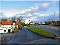
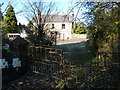

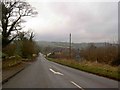
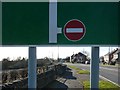
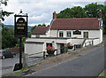
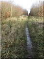
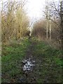
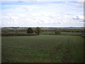
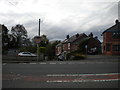
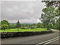
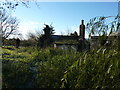
22 photos from this area
Area Information
Key information about the DE55 6EW including its size, population, and administrative classification.
- Area Type
- Postcode
- Area Size
- 23.1 hectares
- Population
- 1907
- Population Density
- 191 people/km²
House Prices in DE55 6EW
59
Properties
£264,771
Average Sold Price
£55,000
Lowest Price
£595,000
Highest Price
Showing 59 properties
| Address | Type | Beds | Baths | Last Sale Price | Last Sale Date | |
|---|---|---|---|---|---|---|
| 2, Top Farm, Main Road, Stretton, DE55 6EW | Detached | 4 | 2 | £420,000 | Dec 2025 | |
| Beech End, Main Road, Stretton, DE55 6EW | Bungalow | 2 | 1 | £180,000 | Feb 2024 | |
| Peak View, Main Road, Stretton, DE55 6EW | Bungalow | 3 | 3 | £340,000 | Nov 2023 | |
| The Firs, Main Road, Stretton, DE55 6EW | Detached | 5 | 4 | £595,000 | Aug 2023 | |
| Four Winds, Main Road, Stretton, DE55 6EW | Detached | 3 | 1 | £330,000 | Feb 2023 | |
| The Nook, Main Road, Stretton, DE55 6EW | Bungalow | 2 | 1 | £290,000 | Nov 2022 | |
| Rykneld, Main Road, Stretton, DE55 6EW | Bungalow | - | - | £210,000 | Feb 2022 | |
| Poplar House, Main Road, Stretton, DE55 6EW | house | - | - | £395,500 | Aug 2019 | |
| Tawny Ridge, Main Road, Stretton, DE55 6EW | Bungalow | - | - | £210,000 | Jun 2019 | |
| One Acre, Main Road, Stretton, DE55 6EW | Bungalow | 3 | 1 | £265,000 | Mar 2019 |
Page 1 of 6
Energy Efficiency in DE55 6EW
Amenities
Schools
| Rank | School | Type | Entry gender | Ages |
|---|
Explore more schools in this area
Go to Schools tabDemographics
Household Size
Two person
most common
Accommodation Type
Houses
most common
Tenure
80
majority
Ethnic Group
White
most common
Religion
N/A
most common
Household Composition
N/A
most common
Age
47
median
Adults (30-64 years)
most common
Household Deprivation
N/A
with no deprivation
NS-SEC
33
in Lower managerial occupations
Explore more demographic insights in this area
Go to Demographics tabPlanning
Planning Constraints
- Flood RiskPremium
- Ramsar Wetland SitesPremium
- Area of Outstanding Natural BeautyPremium
- Protected Nature ReservePremium
- Protected WoodlandPremium