Area Overview for DE55 5UB
Photos of DE55 5UB
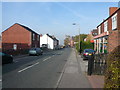
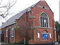
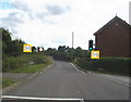
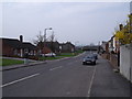
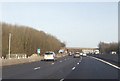
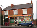
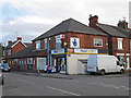
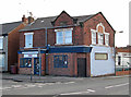
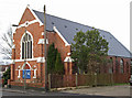
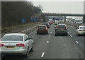
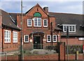
41 photos from this area
Area Information
Key information about the DE55 5UB including its size, population, and administrative classification.
- Area Type
- Postcode
- Area Size
- 2.0 hectares
- Population
- 1535
- Population Density
- 1268 people/km²
House Prices in DE55 5UB
50
Properties
£123,582
Average Sold Price
£39,000
Lowest Price
£225,000
Highest Price
Showing 50 properties
| Address | Type | Beds | Baths | Last Sale Price | Last Sale Date | |
|---|---|---|---|---|---|---|
| 11 Hallfield Road, Newton, DE55 5UB | Semi-detached | 3 | - | £190,000 | Dec 2024 | |
| 5 Hallfield Road, Newton, DE55 5UB | house | 4 | 1 | £225,000 | Jul 2024 | |
| 34 Hallfield Road, Newton, DE55 5UB | Detached | 3 | 1 | £214,000 | Jul 2024 | |
| 35 Hallfield Road, Newton, DE55 5UB | Bungalow | 2 | 1 | £173,000 | Mar 2024 | |
| 18 Hallfield Road, Newton, DE55 5UB | Bungalow | - | - | £158,000 | Feb 2024 | |
| 21 Hallfield Road, Newton, DE55 5UB | Retail | 3 | 1 | £218,000 | Apr 2022 | |
| 2 Hallfield Road, Newton, DE55 5UB | Bungalow | 2 | - | £135,000 | Aug 2021 | |
| 16 Hallfield Road, Newton, DE55 5UB | Bungalow | 2 | 1 | £120,000 | Dec 2020 | |
| 25 Hallfield Road, Newton, DE55 5UB | Bungalow | - | - | £120,000 | Dec 2016 | |
| 33 Hallfield Road, Newton, DE55 5UB | Bungalow | 2 | 1 | £150,000 | Aug 2016 |
Page 1 of 5
Energy Efficiency in DE55 5UB
Amenities
Schools
| Rank | School | Type | Entry gender | Ages |
|---|
Explore more schools in this area
Go to Schools tabDemographics
Household Size
Two person
most common
Accommodation Type
Houses
most common
Tenure
76
majority
Ethnic Group
White
most common
Religion
N/A
most common
Household Composition
N/A
most common
Age
47
median
Adults (30-64 years)
most common
Household Deprivation
N/A
with no deprivation
NS-SEC
27
in Lower managerial occupations
Explore more demographic insights in this area
Go to Demographics tabPlanning
Planning Constraints
- Flood RiskPremium
- Ramsar Wetland SitesPremium
- Area of Outstanding Natural BeautyPremium
- Protected Nature ReservePremium
- Protected WoodlandPremium