Area Overview for DE55 5TQ
Photos of DE55 5TQ
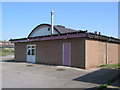
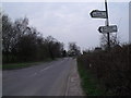
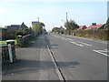
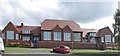
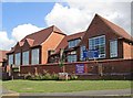
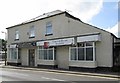
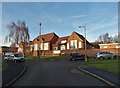
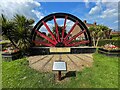
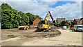
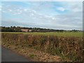
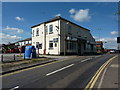
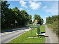
21 photos from this area
Area Information
Key information about the DE55 5TQ including its size, population, and administrative classification.
- Area Type
- Postcode
- Area Size
- 13.2 hectares
- Population
- 1532
- Population Density
- 328 people/km²
House Prices in DE55 5TQ
58
Properties
£141,904
Average Sold Price
£23,000
Lowest Price
£335,000
Highest Price
Showing 58 properties
| Address | Type | Beds | Baths | Last Sale Price | Last Sale Date | |
|---|---|---|---|---|---|---|
| 100 Alfreton Road, Newton, DE55 5TQ | house | 2 | - | £75,000 | Sep 2024 | |
| 82 Alfreton Road, Newton, DE55 5TQ | Bungalow | 2 | - | £225,000 | Mar 2023 | |
| 34 Alfreton Road, Newton, DE55 5TQ | Retail | 2 | 1 | £230,500 | May 2022 | |
| 55A Alfreton Road, Newton, DE55 5TQ | house | - | - | £160,000 | Nov 2021 | |
| 47 Alfreton Road, Newton, DE55 5TQ | Bungalow | - | - | £155,000 | Feb 2021 | |
| 44 Alfreton Road, Newton, DE55 5TQ | Terraced | 2 | - | £117,000 | Oct 2020 | |
| 51 Alfreton Road, Newton, DE55 5TQ | house | - | - | £200,000 | Sep 2020 | |
| 61 Alfreton Road, Newton, DE55 5TQ | house | - | - | £145,000 | Mar 2020 | |
| 52 Alfreton Road, Newton, DE55 5TQ | Semi-detached | 3 | 1 | £140,000 | Feb 2020 | |
| 70 Alfreton Road, Newton, DE55 5TQ | house | - | - | £210,000 | Jan 2020 |
Page 1 of 6
Energy Efficiency in DE55 5TQ
Amenities
Schools
| Rank | School | Type | Entry gender | Ages |
|---|
Explore more schools in this area
Go to Schools tabDemographics
Household Size
Two person
most common
Accommodation Type
Houses
most common
Tenure
74
majority
Ethnic Group
White
most common
Religion
N/A
most common
Household Composition
N/A
most common
Age
47
median
Adults (30-64 years)
most common
Household Deprivation
N/A
with no deprivation
NS-SEC
26
in Lower managerial occupations
Explore more demographic insights in this area
Go to Demographics tabPlanning
Planning Constraints
- Flood RiskPremium
- Ramsar Wetland SitesPremium
- Area of Outstanding Natural BeautyPremium
- Protected Nature ReservePremium
- Protected WoodlandPremium