Area Overview for DE55 3LR
Photos of DE55 3LR
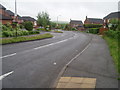
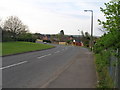
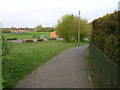
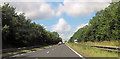

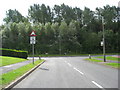
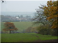
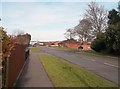
13 photos from this area
Area Information
Key information about the DE55 3LR including its size, population, and administrative classification.
- Area Type
- Postcode
- Area Size
- 2.5 hectares
- Population
- 1574
- Population Density
- 1245 people/km²
House Prices in DE55 3LR
68
Properties
£100,471
Average Sold Price
£30,000
Lowest Price
£244,000
Highest Price
Showing 68 properties
| Address | Type | Beds | Baths | Last Sale Price | Last Sale Date | |
|---|---|---|---|---|---|---|
| 26 Birchen Holme, Broadmeadows, South Normanton, DE55 3LR | house | - | - | £100,000 | Nov 2024 | |
| 32 Birchen Holme, Broadmeadows, South Normanton, DE55 3LR | Semi-detached | 1 | 1 | £107,000 | Nov 2023 | |
| 53 Birchen Holme, Broadmeadows, South Normanton, DE55 3LR | Semi-detached | 2 | 1 | £155,000 | Nov 2023 | |
| 47 Birchen Holme, Broadmeadows, South Normanton, DE55 3LR | Semi-detached | 2 | 1 | £160,000 | Apr 2023 | |
| 17A Birchen Holme, Broadmeadows, South Normanton, DE55 3LR | house | - | - | £244,000 | Feb 2023 | |
| 25 Birchen Holme, Broadmeadows, South Normanton, DE55 3LR | Semi-detached | 2 | 1 | £152,000 | Dec 2022 | |
| 37 Birchen Holme, Broadmeadows, South Normanton, DE55 3LR | Semi-detached | 2 | 1 | £182,000 | Jul 2022 | |
| 52 Birchen Holme, Broadmeadows, South Normanton, DE55 3LR | Semi-detached | 2 | 1 | £151,000 | Apr 2022 | |
| 17 Birchen Holme, Broadmeadows, South Normanton, DE55 3LR | Semi-detached | 2 | 1 | £120,000 | Jan 2022 | |
| 29 Birchen Holme, Broadmeadows, South Normanton, DE55 3LR | house | - | - | £140,000 | Oct 2021 |
Page 1 of 7
Energy Efficiency in DE55 3LR
Amenities
Schools
| Rank | School | Type | Entry gender | Ages |
|---|
Explore more schools in this area
Go to Schools tabDemographics
Household Size
Two person
most common
Accommodation Type
Houses
most common
Tenure
83
majority
Ethnic Group
White
most common
Religion
N/A
most common
Household Composition
N/A
most common
Age
47
median
Adults (30-64 years)
most common
Household Deprivation
N/A
with no deprivation
NS-SEC
36
in Lower managerial occupations
Explore more demographic insights in this area
Go to Demographics tabPlanning
Planning Constraints
- Flood RiskPremium
- Ramsar Wetland SitesPremium
- Area of Outstanding Natural BeautyPremium
- Protected Nature ReservePremium
- Protected WoodlandPremium