Area Overview for DE55 2EP
Photos of DE55 2EP
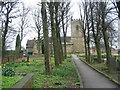
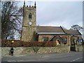
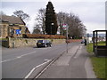
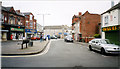
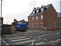
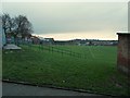
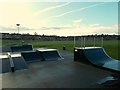
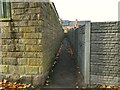
44 photos from this area
Area Information
Key information about the DE55 2EP including its size, population, and administrative classification.
- Area Type
- Postcode
- Area Size
- 1.5 hectares
- Population
- 1677
- Population Density
- 3062 people/km²
House Prices in DE55 2EP
43
Properties
£80,785
Average Sold Price
£21,000
Lowest Price
£155,000
Highest Price
Showing 43 properties
| Address | Type | Beds | Baths | Last Sale Price | Last Sale Date | |
|---|---|---|---|---|---|---|
| 96 The Common, South Normanton, DE55 2EP | Detached | 2 | 1 | £155,000 | Jul 2025 | |
| 101 The Common, South Normanton, DE55 2EP | Terraced | 2 | - | £140,000 | Dec 2023 | |
| 82 The Common, South Normanton, DE55 2EP | Terraced | 2 | - | £97,500 | Oct 2023 | |
| 98 The Common, South Normanton, DE55 2EP | Detached | 3 | - | £120,000 | Jul 2021 | |
| 89 The Common, South Normanton, DE55 2EP | house | - | - | £94,437 | Jun 2021 | |
| 106 The Common, South Normanton, DE55 2EP | Terraced | 2 | - | £100,000 | Nov 2020 | |
| 95 The Common, South Normanton, DE55 2EP | Terraced | 2 | 1 | £62,450 | Jan 2019 | |
| 91 The Common, South Normanton, DE55 2EP | Terraced | 2 | - | £99,500 | Sep 2018 | |
| 104 The Common, South Normanton, DE55 2EP | house | - | - | £65,000 | Sep 2016 | |
| 80 The Common, South Normanton, DE55 2EP | house | - | - | £60,000 | Jul 2016 |
Page 1 of 5
Energy Efficiency in DE55 2EP
Amenities
Schools
| Rank | School | Type | Entry gender | Ages |
|---|
Explore more schools in this area
Go to Schools tabDemographics
Household Size
Two person
most common
Accommodation Type
Houses
most common
Tenure
83
majority
Ethnic Group
White
most common
Religion
N/A
most common
Household Composition
N/A
most common
Age
47
median
Adults (30-64 years)
most common
Household Deprivation
N/A
with no deprivation
NS-SEC
31
in Lower managerial occupations
Explore more demographic insights in this area
Go to Demographics tabPlanning
Planning Constraints
- Flood RiskPremium
- Ramsar Wetland SitesPremium
- Area of Outstanding Natural BeautyPremium
- Protected Nature ReservePremium
- Protected WoodlandPremium