Area Overview for DE55 2EE
Photos of DE55 2EE
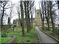
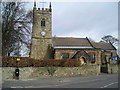
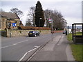
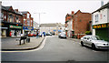
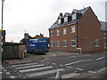
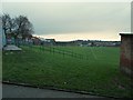
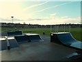
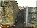
44 photos from this area
Area Information
Key information about the DE55 2EE including its size, population, and administrative classification.
- Area Type
- Postcode
- Area Size
- 1.6 hectares
- Population
- 1649
- Population Density
- 5118 people/km²
House Prices in DE55 2EE
27
Properties
£87,875
Average Sold Price
£40,000
Lowest Price
£180,000
Highest Price
Showing 27 properties
| Address | Type | Beds | Baths | Last Sale Price | Last Sale Date | |
|---|---|---|---|---|---|---|
| 67 Water Lane, South Normanton, DE55 2EE | house | 3 | 1 | £115,000 | Aug 2025 | |
| 80 Water Lane, South Normanton, DE55 2EE | Semi-detached | 3 | 1 | £118,500 | Apr 2024 | |
| 79 Water Lane, South Normanton, DE55 2EE | house | - | - | £100,000 | Sep 2023 | |
| 103 Water Lane, South Normanton, DE55 2EE | Bungalow | - | - | £180,000 | Jan 2023 | |
| 92 Water Lane, South Normanton, DE55 2EE | Terraced | 2 | 1 | £81,000 | Jun 2022 | |
| 112 Water Lane, South Normanton, DE55 2EE | Semi-detached | 2 | - | £105,000 | Jun 2022 | |
| 109 Water Lane, South Normanton, DE55 2EE | house | 3 | 2 | £119,950 | May 2022 | |
| 82 Water Lane, South Normanton, DE55 2EE | Terraced | 2 | 1 | £83,500 | Feb 2022 | |
| 56 Water Lane, South Normanton, DE55 2EE | Terraced | 2 | 1 | £56,000 | Feb 2021 | |
| 54 Water Lane, South Normanton, DE55 2EE | Terraced | 2 | 1 | £58,300 | Sep 2020 |
Page 1 of 3
Energy Efficiency in DE55 2EE
Amenities
Schools
| Rank | School | Type | Entry gender | Ages |
|---|
Explore more schools in this area
Go to Schools tabDemographics
Household Size
Family (3-5 people)
most common
Accommodation Type
Houses
most common
Tenure
57
majority
Ethnic Group
White
most common
Religion
N/A
most common
Household Composition
N/A
most common
Age
47
median
Adults (30-64 years)
most common
Household Deprivation
N/A
with no deprivation
NS-SEC
15
in Lower managerial occupations
Explore more demographic insights in this area
Go to Demographics tabPlanning
Planning Constraints
- Flood RiskPremium
- Ramsar Wetland SitesPremium
- Area of Outstanding Natural BeautyPremium
- Protected Nature ReservePremium
- Protected WoodlandPremium