Area Overview for DE55 1DQ
Photos of DE55 1DQ
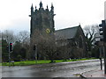
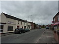
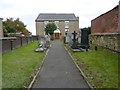
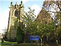
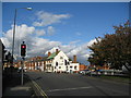
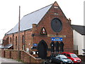
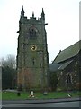
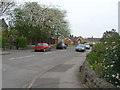
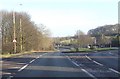
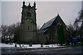
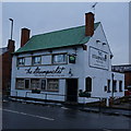
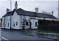
41 photos from this area
Area Information
Key information about the DE55 1DQ including its size, population, and administrative classification.
- Area Type
- Postcode
- Area Size
- 1.2 hectares
- Population
- 1180
- Population Density
- 4040 people/km²
House Prices in DE55 1DQ
24
Properties
£191,318
Average Sold Price
£72,000
Lowest Price
£310,000
Highest Price
Showing 24 properties
| Address | Type | Beds | Baths | Last Sale Price | Last Sale Date | |
|---|---|---|---|---|---|---|
| 6 Broom Avenue, Swanwick, Alfreton, DE55 1DQ | Detached | 3 | 2 | £250,000 | May 2025 | |
| 22 Broom Avenue, Swanwick, Alfreton, DE55 1DQ | Detached | 3 | 1 | £310,000 | Jan 2025 | |
| 26 Broom Avenue, Swanwick, Alfreton, DE55 1DQ | house | - | - | £250,000 | Apr 2021 | |
| 5 Broom Avenue, Swanwick, Alfreton, DE55 1DQ | house | - | - | £192,500 | Mar 2021 | |
| 20 Broom Avenue, Swanwick, Alfreton, DE55 1DQ | Detached | 3 | - | £210,000 | Oct 2019 | |
| 3 Broom Avenue, Swanwick, Alfreton, DE55 1DQ | Semi-detached | 3 | - | £188,050 | Nov 2017 | |
| 8 Broom Avenue, Swanwick, Alfreton, DE55 1DQ | house | - | - | £170,000 | Dec 2016 | |
| 15 Broom Avenue, Swanwick, Alfreton, DE55 1DQ | Semi-detached | 3 | - | £197,000 | Oct 2015 | |
| 7 Broom Avenue, Swanwick, Alfreton, DE55 1DQ | house | 3 | - | £125,000 | May 2011 | |
| 1 Broom Avenue, Swanwick, Alfreton, DE55 1DQ | Semi-detached | - | - | £139,950 | Jul 2004 |
Page 1 of 3
Energy Efficiency in DE55 1DQ
Amenities
Schools
| Rank | School | Type | Entry gender | Ages |
|---|
Explore more schools in this area
Go to Schools tabDemographics
Household Size
Two person
most common
Accommodation Type
Houses
most common
Tenure
84
majority
Ethnic Group
White
most common
Religion
N/A
most common
Household Composition
N/A
most common
Age
47
median
Adults (30-64 years)
most common
Household Deprivation
N/A
with no deprivation
NS-SEC
33
in Lower managerial occupations
Explore more demographic insights in this area
Go to Demographics tabPlanning
Planning Constraints
- Flood RiskPremium
- Ramsar Wetland SitesPremium
- Area of Outstanding Natural BeautyPremium
- Protected Nature ReservePremium
- Protected WoodlandPremium