Area Overview for DE55 1DJ
Photos of DE55 1DJ
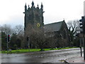
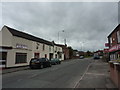
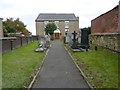
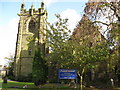
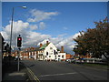
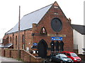
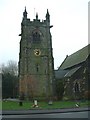
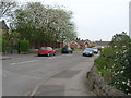
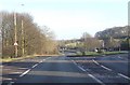
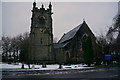
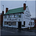
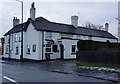
41 photos from this area
Area Information
Key information about the DE55 1DJ including its size, population, and administrative classification.
- Area Type
- Postcode
- Area Size
- 2.2 hectares
- Population
- 1238
- Population Density
- 916 people/km²
House Prices in DE55 1DJ
43
Properties
£174,885
Average Sold Price
£46,500
Lowest Price
£420,000
Highest Price
Showing 43 properties
| Address | Type | Beds | Baths | Last Sale Price | Last Sale Date | |
|---|---|---|---|---|---|---|
| 35 Brackendale Road, Swanwick, Alfreton, DE55 1DJ | Detached | 4 | 2 | £330,000 | Aug 2025 | |
| 11 Brackendale Road, Swanwick, Alfreton, DE55 1DJ | Bungalow | 3 | 1 | £420,000 | Apr 2024 | |
| 36 Brackendale Road, Swanwick, Alfreton, DE55 1DJ | Semi-detached | 3 | 1 | £170,000 | Aug 2023 | |
| 41 Brackendale Road, Swanwick, Alfreton, DE55 1DJ | house | - | - | £230,000 | May 2021 | |
| 46 Brackendale Road, Swanwick, Alfreton, DE55 1DJ | Semi-detached | 3 | - | £145,000 | Apr 2020 | |
| 1A Brackendale Road, Swanwick, Alfreton, DE55 1DJ | Bungalow | 2 | - | £210,000 | Apr 2019 | |
| 32 Brackendale Road, Swanwick, Alfreton, DE55 1DJ | Semi-detached | 2 | 1 | £125,000 | Aug 2018 | |
| 13 Brackendale Road, Swanwick, Alfreton, DE55 1DJ | Bungalow | - | - | £335,000 | Mar 2018 | |
| 10 Brackendale Road, Swanwick, Alfreton, DE55 1DJ | Bungalow | 3 | - | £194,995 | Feb 2018 | |
| 2 Brackendale Road, Swanwick, Alfreton, DE55 1DJ | Bungalow | 3 | 1 | £214,950 | Oct 2017 |
Page 1 of 5
Energy Efficiency in DE55 1DJ
Amenities
Schools
| Rank | School | Type | Entry gender | Ages |
|---|
Explore more schools in this area
Go to Schools tabDemographics
Household Size
Two person
most common
Accommodation Type
Houses
most common
Tenure
93
majority
Ethnic Group
White
most common
Religion
N/A
most common
Household Composition
N/A
most common
Age
47
median
Adults (30-64 years)
most common
Household Deprivation
N/A
with no deprivation
NS-SEC
40
in Lower managerial occupations
Explore more demographic insights in this area
Go to Demographics tabPlanning
Planning Constraints
- Flood RiskPremium
- Ramsar Wetland SitesPremium
- Area of Outstanding Natural BeautyPremium
- Protected Nature ReservePremium
- Protected WoodlandPremium