Area Overview for DE5 9RP
Photos of DE5 9RP
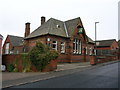

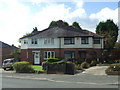
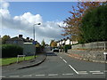
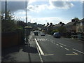
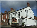
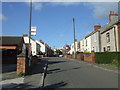
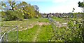
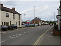
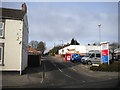
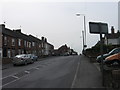
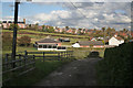
31 photos from this area
Area Information
Key information about the DE5 9RP including its size, population, and administrative classification.
- Area Type
- Postcode
- Area Size
- 1.6 hectares
- Population
- 1492
- Population Density
- 688 people/km²
House Prices in DE5 9RP
39
Properties
£102,560
Average Sold Price
£32,000
Lowest Price
£230,000
Highest Price
Showing 39 properties
| Address | Type | Beds | Baths | Last Sale Price | Last Sale Date | |
|---|---|---|---|---|---|---|
| 71 Jessop Street, Codnor, Ripley, DE5 9RP | Detached | 3 | 2 | £230,000 | Apr 2024 | |
| 68 Jessop Street, Codnor, Ripley, DE5 9RP | Retail | 2 | 1 | £180,000 | Aug 2022 | |
| 92 Jessop Street, Codnor, Ripley, DE5 9RP | house | - | - | £145,000 | Oct 2021 | |
| 59 Jessop Street, Codnor, Ripley, DE5 9RP | house | - | - | £97,000 | Jun 2021 | |
| 61 Jessop Street, Codnor, Ripley, DE5 9RP | Terraced | 2 | 1 | £93,000 | Jan 2020 | |
| 53 Jessop Street, Codnor, Ripley, DE5 9RP | Terraced | 3 | 1 | £114,000 | Jul 2019 | |
| 51 Jessop Street, Codnor, Ripley, DE5 9RP | Terraced | 2 | 1 | £95,000 | Apr 2019 | |
| 74 Jessop Street, Codnor, Ripley, DE5 9RP | Semi-detached | 2 | 1 | £143,500 | Feb 2019 | |
| 78 Jessop Street, Codnor, Ripley, DE5 9RP | Semi-detached | 3 | 2 | £137,000 | Jul 2018 | |
| 88 Jessop Street, Codnor, Ripley, DE5 9RP | Semi-detached | - | - | £110,000 | May 2017 |
Page 1 of 4
Energy Efficiency in DE5 9RP
Amenities
Schools
| Rank | School | Type | Entry gender | Ages |
|---|
Explore more schools in this area
Go to Schools tabDemographics
Household Size
Two person
most common
Accommodation Type
Houses
most common
Tenure
87
majority
Ethnic Group
White
most common
Religion
N/A
most common
Household Composition
N/A
most common
Age
47
median
Adults (30-64 years)
most common
Household Deprivation
N/A
with no deprivation
NS-SEC
30
in Lower managerial occupations
Explore more demographic insights in this area
Go to Demographics tabPlanning
Planning Constraints
- Flood RiskPremium
- Ramsar Wetland SitesPremium
- Area of Outstanding Natural BeautyPremium
- Protected Nature ReservePremium
- Protected WoodlandPremium