Area Overview for DE5 8ND
Photos of DE5 8ND
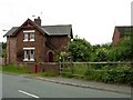
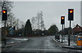
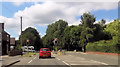
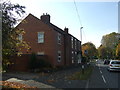
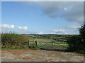
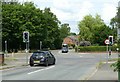
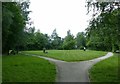
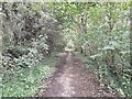
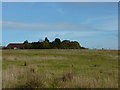

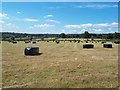
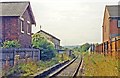
28 photos from this area
Area Information
Key information about the DE5 8ND including its size, population, and administrative classification.
- Area Type
- Postcode
- Area Size
- 28.2 hectares
- Population
- 2008
- Population Density
- 209 people/km²
House Prices in DE5 8ND
33
Properties
£248,757
Average Sold Price
£65,000
Lowest Price
£460,000
Highest Price
Showing 33 properties
| Address | Type | Beds | Baths | Last Sale Price | Last Sale Date | |
|---|---|---|---|---|---|---|
| 10A Station Road, Denby, Ripley, DE5 8ND | Detached | 3 | 2 | £297,000 | Feb 2025 | |
| Camarasa, 19 Station Road, Denby, Ripley, DE5 8ND | Detached | 3 | 1 | £450,000 | Oct 2022 | |
| 32 Station Road, Denby, Ripley, DE5 8ND | Retail | 3 | 1 | £400,000 | Aug 2022 | |
| 14 Station Road, Denby, Ripley, DE5 8ND | Retail | 3 | 2 | £425,000 | Jun 2022 | |
| 6 Station Road, Denby, Ripley, DE5 8ND | house | - | - | £220,000 | Apr 2022 | |
| 31 Station Road, Denby, Ripley, DE5 8ND | house | 2 | 1 | £225,000 | Apr 2022 | |
| 16 Station Road, Denby, Ripley, DE5 8ND | house | - | - | £460,000 | Oct 2021 | |
| 1 Station Road, Denby, Ripley, DE5 8ND | Semi-detached | 2 | 1 | £213,000 | Oct 2018 | |
| 14A Station Road, Denby, Ripley, DE5 8ND | Detached | 4 | - | £399,950 | Apr 2018 | |
| 22 Station Road, Denby, Ripley, DE5 8ND | Detached | 3 | 2 | £338,000 | Jun 2016 |
Page 1 of 4
Energy Efficiency in DE5 8ND
Amenities
Schools
| Rank | School | Type | Entry gender | Ages |
|---|
Explore more schools in this area
Go to Schools tabDemographics
Household Size
Two person
most common
Accommodation Type
Houses
most common
Tenure
81
majority
Ethnic Group
White
most common
Religion
N/A
most common
Household Composition
N/A
most common
Age
47
median
Adults (30-64 years)
most common
Household Deprivation
N/A
with no deprivation
NS-SEC
36
in Lower managerial occupations
Explore more demographic insights in this area
Go to Demographics tabPlanning
Planning Constraints
- Flood RiskPremium
- Ramsar Wetland SitesPremium
- Area of Outstanding Natural BeautyPremium
- Protected Nature ReservePremium
- Protected WoodlandPremium