Area Overview for DE5 3SS
Photos of DE5 3SS
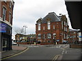
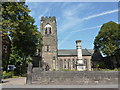
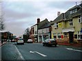
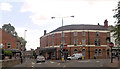
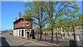
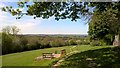
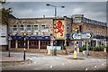
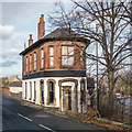
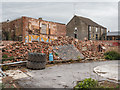
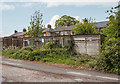
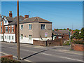
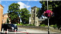
76 photos from this area
Area Information
Key information about the DE5 3SS including its size, population, and administrative classification.
- Area Type
- Postcode
- Area Size
- 5.4 hectares
- Population
- 1283
- Population Density
- 1734 people/km²
House Prices in DE5 3SS
48
Properties
£207,395
Average Sold Price
£68,500
Lowest Price
£375,000
Highest Price
Showing 48 properties
| Address | Type | Beds | Baths | Last Sale Price | Last Sale Date | |
|---|---|---|---|---|---|---|
| 6 Devonshire Avenue, Ripley, DE5 3SS | Detached | 4 | 1 | £375,000 | Aug 2024 | |
| 30 Devonshire Avenue, Ripley, DE5 3SS | house | - | - | £220,000 | Aug 2021 | |
| 33 Devonshire Avenue, Ripley, DE5 3SS | Detached | 4 | 2 | £280,000 | May 2020 | |
| 15 Devonshire Avenue, Ripley, DE5 3SS | Detached | 5 | 3 | £372,500 | Nov 2017 | |
| 24 Devonshire Avenue, Ripley, DE5 3SS | Detached | 3 | 2 | £229,950 | May 2017 | |
| 46 Devonshire Avenue, Ripley, DE5 3SS | Detached | 4 | 2 | £235,000 | Apr 2017 | |
| 8 Devonshire Avenue, Ripley, DE5 3SS | Detached | - | - | £210,000 | Mar 2017 | |
| 29 Devonshire Avenue, Ripley, DE5 3SS | Detached | 4 | - | £240,000 | Nov 2015 | |
| 2 Devonshire Avenue, Ripley, DE5 3SS | house | 3 | 3 | £225,000 | Jun 2015 | |
| 48 Devonshire Avenue, Ripley, DE5 3SS | Detached | 4 | 2 | £242,500 | Jun 2014 |
Page 1 of 5
Energy Efficiency in DE5 3SS
Amenities
Schools
| Rank | School | Type | Entry gender | Ages |
|---|
Explore more schools in this area
Go to Schools tabDemographics
Household Size
Two person
most common
Accommodation Type
Houses
most common
Tenure
81
majority
Ethnic Group
White
most common
Religion
N/A
most common
Household Composition
N/A
most common
Age
47
median
Adults (30-64 years)
most common
Household Deprivation
N/A
with no deprivation
NS-SEC
36
in Lower managerial occupations
Explore more demographic insights in this area
Go to Demographics tabPlanning
Planning Constraints
- Flood RiskPremium
- Ramsar Wetland SitesPremium
- Area of Outstanding Natural BeautyPremium
- Protected Nature ReservePremium
- Protected WoodlandPremium