Area Overview for DE5 3PA
Photos of DE5 3PA
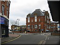
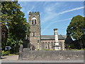
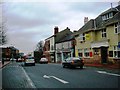
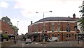
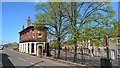
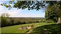
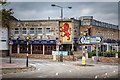
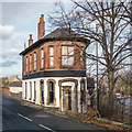
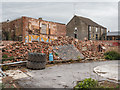
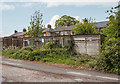
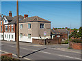
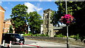
76 photos from this area
Area Information
Key information about the DE5 3PA including its size, population, and administrative classification.
- Area Type
- Postcode
- Area Size
- 1.2 hectares
- Population
- 1507
- Population Density
- 4531 people/km²
House Prices in DE5 3PA
30
Properties
£120,450
Average Sold Price
£54,000
Lowest Price
£175,000
Highest Price
Showing 30 properties
| Address | Type | Beds | Baths | Last Sale Price | Last Sale Date | |
|---|---|---|---|---|---|---|
| 18 Cedar Avenue, Ripley, DE5 3PA | Semi-detached | 2 | 1 | £175,000 | Jul 2023 | |
| 4 Cedar Avenue, Ripley, DE5 3PA | house | - | - | £156,000 | Aug 2021 | |
| 26 Cedar Avenue, Ripley, DE5 3PA | Semi-detached | 2 | 1 | £140,000 | Mar 2021 | |
| 32 Cedar Avenue, Ripley, DE5 3PA | house | - | - | £65,000 | Mar 2016 | |
| 31 Cedar Avenue, Ripley, DE5 3PA | Detached | 3 | 1 | £145,000 | Jan 2016 | |
| 1 Cedar Avenue, Ripley, DE5 3PA | house | - | - | £122,500 | Dec 2011 | |
| 14 Cedar Avenue, Ripley, DE5 3PA | house | - | - | £91,500 | Jul 2009 | |
| 29 Cedar Avenue, Ripley, DE5 3PA | house | - | - | £170,000 | Nov 2005 | |
| 12 Cedar Avenue, Ripley, DE5 3PA | Semi-detached | - | - | £85,500 | Oct 2003 | |
| 28 Cedar Avenue, Ripley, DE5 3PA | Semi-detached | - | - | £54,000 | Aug 2000 |
Page 1 of 3
Energy Efficiency in DE5 3PA
Amenities
Schools
| Rank | School | Type | Entry gender | Ages |
|---|
Explore more schools in this area
Go to Schools tabDemographics
Household Size
One person
most common
Accommodation Type
Houses
most common
Tenure
46
majority
Ethnic Group
White
most common
Religion
N/A
most common
Household Composition
N/A
most common
Age
47
median
Adults (30-64 years)
most common
Household Deprivation
N/A
with no deprivation
NS-SEC
16
in Lower managerial occupations
Explore more demographic insights in this area
Go to Demographics tabPlanning
Planning Constraints
- Flood RiskPremium
- Ramsar Wetland SitesPremium
- Area of Outstanding Natural BeautyPremium
- Protected Nature ReservePremium
- Protected WoodlandPremium