Area Overview for DE5 3ET
Photos of DE5 3ET
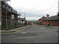
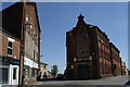
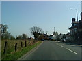
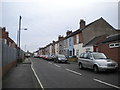
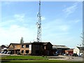
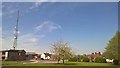
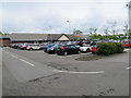
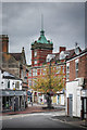
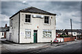
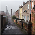
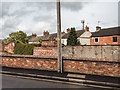
63 photos from this area
Area Information
Key information about the DE5 3ET including its size, population, and administrative classification.
- Area Type
- Postcode
- Area Size
- 7025 m²
- Population
- 1322
- Population Density
- 4305 people/km²
House Prices in DE5 3ET
19
Properties
£101,600
Average Sold Price
£26,000
Lowest Price
£205,000
Highest Price
Showing 19 properties
| Address | Type | Beds | Baths | Last Sale Price | Last Sale Date | |
|---|---|---|---|---|---|---|
| 34 Albion Street, Ripley, DE5 3ET | Terraced | 2 | 1 | £95,000 | May 2024 | |
| 7 Albion Street, Ripley, DE5 3ET | Bungalow | - | - | £180,000 | Sep 2021 | |
| Woodbine Cottage, 5 Albion Street, Ripley, DE5 3ET | Detached | 3 | 1 | £205,000 | Oct 2017 | |
| 42 Albion Street, Ripley, DE5 3ET | Terraced | 2 | 1 | £80,500 | Mar 2017 | |
| 48 Albion Street, Ripley, DE5 3ET | house | - | - | £55,000 | Oct 2009 | |
| 13 Albion Street, Ripley, DE5 3ET | house | - | - | £93,000 | Jun 2007 | |
| 1 Albion Street, Ripley, DE5 3ET | Semi-detached | - | - | £115,000 | May 2007 | |
| 46 Albion Street, Ripley, DE5 3ET | Terraced | - | - | £92,000 | Aug 2005 | |
| 3 Albion Street, Ripley, DE5 3ET | Semi-detached | - | - | £74,500 | Mar 2005 | |
| 40 Albion Street, Ripley, DE5 3ET | house | - | - | £26,000 | Jul 2001 |
Page 1 of 2
Energy Efficiency in DE5 3ET
Amenities
Schools
| Rank | School | Type | Entry gender | Ages |
|---|
Explore more schools in this area
Go to Schools tabDemographics
Household Size
Two person
most common
Accommodation Type
Houses
most common
Tenure
56
majority
Ethnic Group
White
most common
Religion
N/A
most common
Household Composition
N/A
most common
Age
47
median
Adults (30-64 years)
most common
Household Deprivation
N/A
with no deprivation
NS-SEC
23
in Lower managerial occupations
Explore more demographic insights in this area
Go to Demographics tabPlanning
Planning Constraints
- Flood RiskPremium
- Ramsar Wetland SitesPremium
- Area of Outstanding Natural BeautyPremium
- Protected Nature ReservePremium
- Protected WoodlandPremium