Area Overview for DE45 1UY
Photos of DE45 1UY
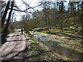
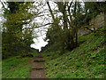
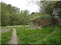
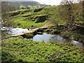
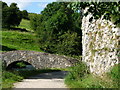
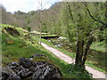
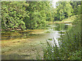
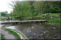
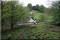
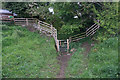
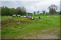
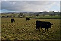
51 photos from this area
Area Information
Key information about the DE45 1UY including its size, population, and administrative classification.
- Area Type
- Postcode
- Area Size
- 4.4 hectares
- Population
- 1519
- Population Density
- 39 people/km²
House Prices in DE45 1UY
14
Properties
£213,250
Average Sold Price
£75,000
Lowest Price
£425,000
Highest Price
Showing 14 properties
| Address | Type | Beds | Baths | Last Sale Price | Last Sale Date | |
|---|---|---|---|---|---|---|
| Fuaran, Coldwell End, Youlgrave, DE45 1UY | Detached | 4 | 2 | £425,000 | Jan 2025 | |
| Mochras, Coldwell End, Youlgrave, DE45 1UY | Detached | - | - | £230,000 | Mar 2016 | |
| Bramwell Cottage, Coldwell End, Youlgrave, DE45 1UY | Terraced | - | - | £123,000 | May 2001 | |
| Blackberry Cottage, Coldwell End, Youlgrave, DE45 1UY | house | 3 | - | £75,000 | Feb 1998 | |
| Coldwell Cottage, King Street, Youlgrave, DE45 1UY | house | 2 | 1 | - | - | |
| New Cottage, Coldwell End, Youlgrave, DE45 1UY | Detached | 2 | - | - | - | |
| Overdale, Coldwell End, Youlgrave, DE45 1UY | Detached | - | - | - | - | |
| Recycling Site, Coldwell End, Youlgrave, DE45 1UY | commercial | - | - | - | - | |
| Spring Lane End, Coldwell End, Youlgrave, DE45 1UY | house | - | - | - | - | |
| Mount Joy, Coldwell End, Youlgrave, DE45 1UY | Detached | - | - | - | - |
Page 1 of 2
Energy Efficiency in DE45 1UY
Amenities
Schools
| Rank | School | Type | Entry gender | Ages |
|---|
Explore more schools in this area
Go to Schools tabDemographics
Household Size
Two person
most common
Accommodation Type
Houses
most common
Tenure
69
majority
Ethnic Group
White
most common
Religion
N/A
most common
Household Composition
N/A
most common
Age
47
median
Adults (30-64 years)
most common
Household Deprivation
N/A
with no deprivation
NS-SEC
36
in Lower managerial occupations
Explore more demographic insights in this area
Go to Demographics tabPlanning
Planning Constraints
- Flood RiskPremium
- Ramsar Wetland SitesPremium
- Area of Outstanding Natural BeautyPremium
- Protected Nature ReservePremium
- Protected WoodlandPremium