Area Overview for DE45 1SP
Photos of DE45 1SP
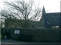
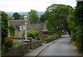
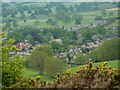
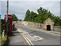
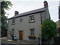
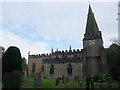
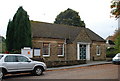
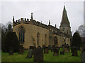
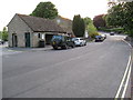
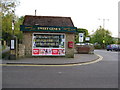
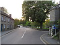
100 photos from this area
Area Information
Key information about the DE45 1SP including its size, population, and administrative classification.
- Area Type
- Postcode
- Area Size
- 20.2 hectares
- Population
- 1608
- Population Density
- 31 people/km²
House Prices in DE45 1SP
16
Properties
£586,125
Average Sold Price
£155,000
Lowest Price
£925,000
Highest Price
Showing 16 properties
| Address | Type | Beds | Baths | Last Sale Price | Last Sale Date | |
|---|---|---|---|---|---|---|
| Stonehaven, Church Lane, Baslow, DE45 1SP | house | - | - | £765,000 | Oct 2023 | |
| The Thatches, Church Lane, Baslow, DE45 1SP | house | - | - | £925,000 | Jun 2021 | |
| Tor View, Church Lane, Baslow, DE45 1SP | house | - | - | £499,500 | Jan 2014 | |
| Highways, Church Lane, Baslow, DE45 1SP | Detached | - | - | £155,000 | Sep 1997 | |
| Tennis Courts, Baslow Sports Field, Church Lane, Baslow, DE45 1SP | Leisure | - | - | - | - | |
| The Flat, Ashton Fields, Church Lane, Baslow, DE45 1SP | Flat | - | - | - | - | |
| Proprietors Accomodation, Cavendish Hotel, Church Lane, Baslow, DE45 1SP | Flat | - | - | - | - | |
| Bowling Green, Baslow Sports Field, Church Lane, Baslow, DE45 1SP | Leisure | - | - | - | - | |
| The Coach House, Cavendish Hotel, Church Lane, Baslow, DE45 1SP | hotel | - | - | - | - | |
| Ashton Fields, Church Lane, Baslow, DE45 1SP | Detached | - | - | - | - |
Page 1 of 2
Energy Efficiency in DE45 1SP
Amenities
Schools
| Rank | School | Type | Entry gender | Ages |
|---|
Explore more schools in this area
Go to Schools tabDemographics
Household Size
Two person
most common
Accommodation Type
Houses
most common
Tenure
63
majority
Ethnic Group
White
most common
Religion
N/A
most common
Household Composition
N/A
most common
Age
47
median
Adults (30-64 years)
most common
Household Deprivation
N/A
with no deprivation
NS-SEC
45
in Lower managerial occupations
Explore more demographic insights in this area
Go to Demographics tabPlanning
Planning Constraints
- Flood RiskPremium
- Ramsar Wetland SitesPremium
- Area of Outstanding Natural BeautyPremium
- Protected Nature ReservePremium
- Protected WoodlandPremium